UN/LOCODE hub · Norway
NODDY

Espenesbogen

69.1167°, 17.7500°
1
Transport functions

Transport Functions

Port
UN/LOCODE

Hub Profile

Region
19
GeoNames

Location

Location of NODDY
Natural Earth 10m (public domain) · 19 · NODDY · 69.12, 17.75GoogleOSMYandex

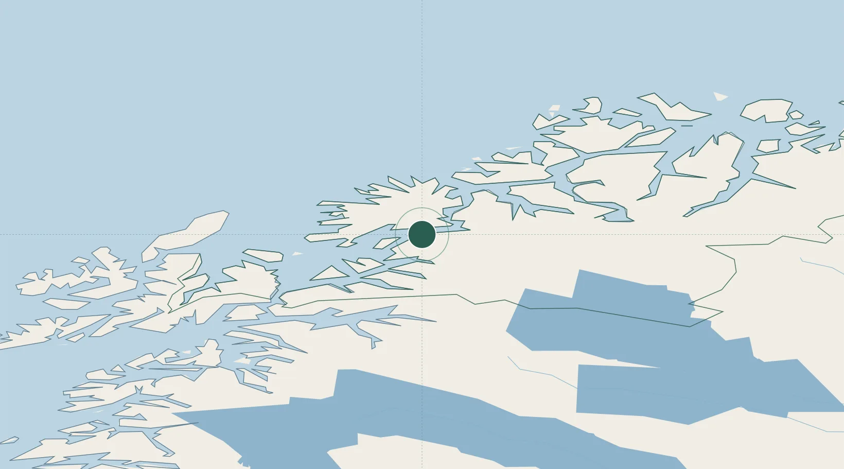
Nearby Logistics Neighbours

Cities
  1. 1Finnsnes14 km
  2. 2Sørreisa15 km
  3. 3Dyrøyhamn17 km
  4. 4Finnfjordbotn17 km
  5. 5Salangsverket24 km
Nearest neighbours — logibook spatial index (haversine) over the source coordinates
Ports
  1. 1Finnsnes16 km
  2. 2Sjovegan27 km
  3. 3Gibostad30 km
  4. 4Harstad60 km
  5. 5Olavsvern67 km
Nearest neighbours — logibook spatial index (haversine) over the source coordinates
Airports
  1. 1Bardufoss Airport32 km
  2. 2Andøya Airport, Andenes67 km
  3. 3Tromsø Airport78 km
  4. 4Harstad/Narvik Airport82 km
  5. 5Stokmarknes Airport, Skagen124 km
Nearest neighbours — logibook spatial index (haversine) over the source coordinates
Trade Zones
  1. 1Oulu Port Free Warehouse Area565 km
  2. 2Turku Free Zone987 km
  3. 3Free Zone of Lappeenranta1018 km
  4. 4Port of Hamina-Kotka1053 km
  5. 5Freeport of Hanko1061 km
Nearest neighbours — logibook spatial index (haversine) over the source coordinates
DatabookThe Record of Consolidated Knowledge
Norway beyond logistics?
Browse databook

All Sources

LocationsUN/LOCODE
UN/LOCODE — free
Portsthe NGA World Port Index
Public domain (US gov)
AirportsOurAirports
Public domain
Trade Zonesthe World Bank SEZ database
CC BY 4.0
Trade ZonesOpen Zone Map
CC BY
← Norway locations