Transport Functions
Port
Road
Hub Profile
Place type
Provincial seat
Region
Troms
Population
3,907
Time zone
Europe/Oslo
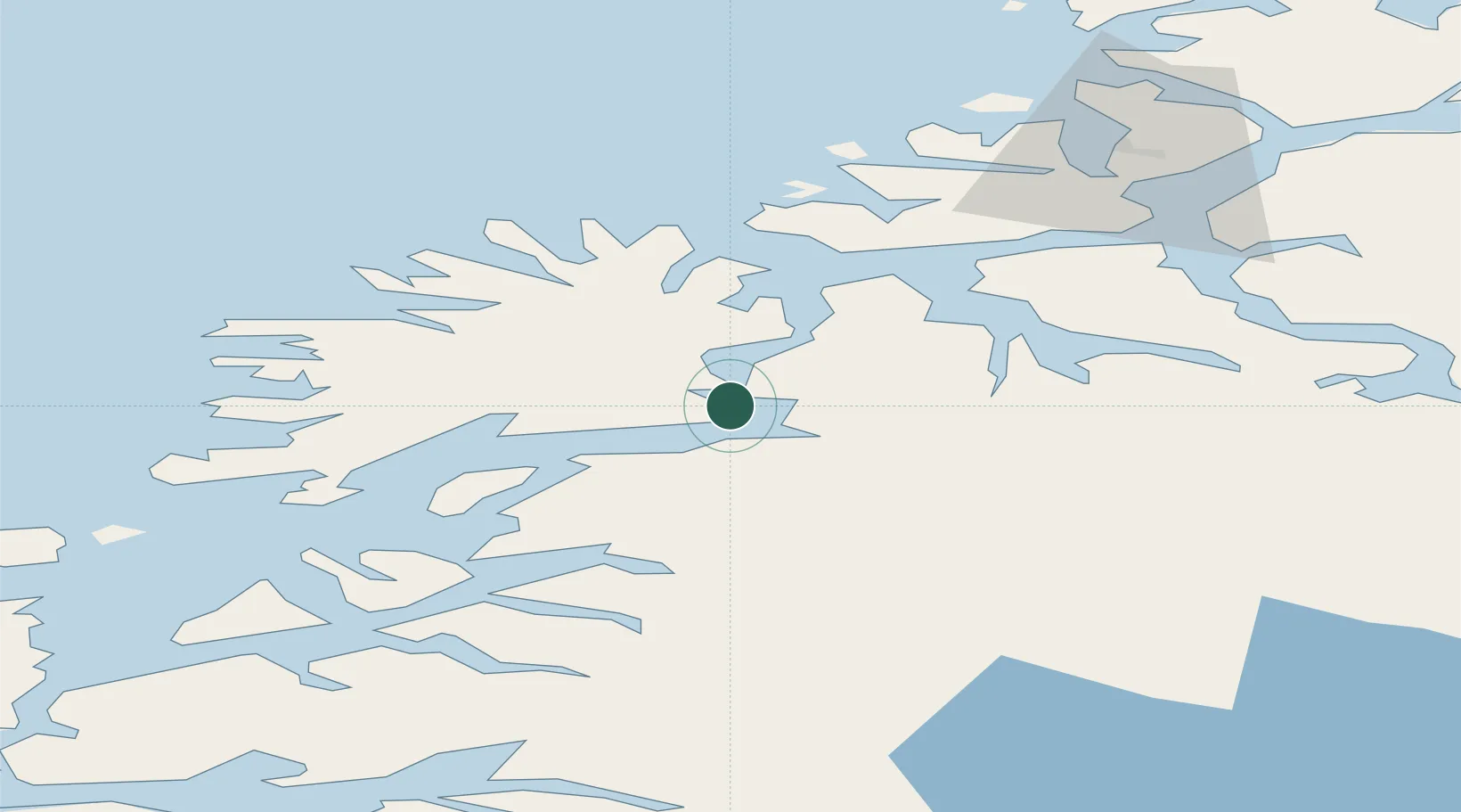
Location
Nearby Logistics Neighbours
Cities
- 1Finnfjordbotn5 km
- 2Sørreisa11 km
- 3Espenesbogen14 km
- 4Kårvikhamn22 km
- 5Lenvik25 km
Airports
- 1Bardufoss Airport29 km
- 2Tromsø Airport64 km
- 3Andøya Airport, Andenes73 km
- 4Harstad/Narvik Airport96 km
- 5Sørkjosen Airport133 km
Trade Zones
- 1Oulu Port Free Warehouse Area568 km
- 2Turku Free Zone995 km
- 3Free Zone of Lappeenranta1022 km
- 4Port of Hamina-Kotka1059 km
- 5Freeport of Hanko1069 km
DatabookThe Record of Consolidated Knowledge
Norway beyond logistics?