Medium airport · Norway

Sørkjosen AirportENSR
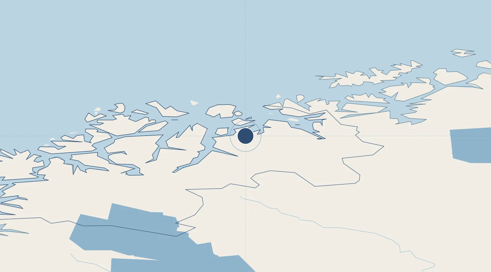
69.7868°, 20.9594°
3,015 ft
Longest runway
1
Runways
16 ft
Elevation

Runway & Layout

Sørkjosen Airport runway & taxiway layout
Runway & taxiway layout — OpenStreetMap (ODbL) / OurAirports

Radio Frequencies

AFIS
119.6 MHz
INFO
OurAirports

Runways · 1

RunwayDimensions SurfaceTrue headingLit
14/32 3,015 × 98ft Asphalt 154°
OurAirports

Airport Specifications

IATA code
SOJ
OurAirports
ICAO code
ENSR
OurAirports
Airport class
Medium airport
OurAirports
Scheduled service
Yes
OurAirports
Runway surface
Asphalt
OurAirports
Served city
Sørkjosen
OurAirports

Location

Location of ENSR
Natural Earth 10m (public domain) · Troms · ENSR · 69.79, 20.96GoogleOSMYandex

Nearby Logistics Neighbours

Airports
  1. 1Tromsø Airport79 km
  2. 2Hasvik Airport90 km
  3. 3Alta Airport95 km
  4. 4Bardufoss Airport125 km
  5. 5Hammerfest Airport142 km
Nearest neighbours — logibook spatial index (haversine) over the source coordinates
Cities
  1. 1Sørkjosen2 km
  2. 2Uløybukt12 km
  3. 3Djupvik18 km
  4. 4Olderdalen27 km
  5. 5Skjervøy27 km
Nearest neighbours — logibook spatial index (haversine) over the source coordinates
Ports
  1. 1Oksfjord73 km
  2. 2Tromso78 km
  3. 3Olavsvern81 km
  4. 4Alta90 km
  5. 5Sorvaer101 km
Nearest neighbours — logibook spatial index (haversine) over the source coordinates
Trade Zones
  1. 1Murmansk Special Economic Zone483 km
  2. 2Oulu Port Free Warehouse Area565 km
  3. 3Free Zone of Lappeenranta1026 km
  4. 4Turku Free Zone1040 km
  5. 5Port of Hamina-Kotka1072 km
Nearest neighbours — logibook spatial index (haversine) over the source coordinates
DatabookThe Record of Consolidated Knowledge
Norway beyond logistics?
Browse databook

All Sources

AirportsOurAirports
Public domain
Portsthe NGA World Port Index
Public domain (US gov)
LocationsUN/LOCODE
UN/LOCODE — free
Trade Zonesthe World Bank SEZ database
CC BY 4.0
Trade ZonesOpen Zone Map
CC BY
InfrastructureOpenStreetMap
ODbL 1.0
← Norway airports