UN/LOCODE hub · Norway
NOSRA

Sørreisa

69.1333°, 18.1167°
1
Transport functions

Transport Functions

Port
UN/LOCODE

Hub Profile

Region
19
GeoNames

Location

Location of NOSRA
Natural Earth 10m (public domain) · 19 · NOSRA · 69.13, 18.12GoogleOSMYandex

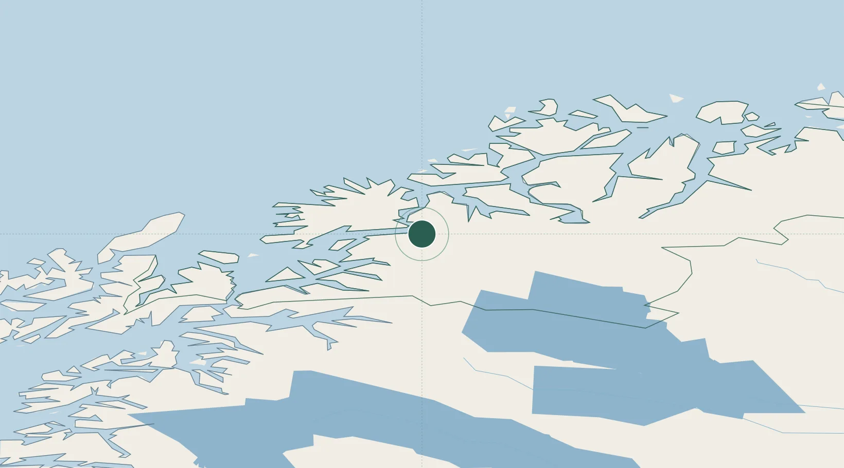
Nearby Logistics Neighbours

Cities
  1. 1Finnfjordbotn9 km
  2. 2Finnsnes11 km
  3. 3Espenesbogen15 km
  4. 4Kårvikhamn30 km
  5. 5Sjøvegan30 km
Nearest neighbours — logibook spatial index (haversine) over the source coordinates
Ports
  1. 1Finnsnes13 km
  2. 2Gibostad25 km
  3. 3Sjovegan31 km
  4. 4Olavsvern56 km
  5. 5Tromso66 km
Nearest neighbours — logibook spatial index (haversine) over the source coordinates
Airports
  1. 1Bardufoss Airport19 km
  2. 2Tromsø Airport69 km
  3. 3Andøya Airport, Andenes80 km
  4. 4Harstad/Narvik Airport92 km
  5. 5Sørkjosen Airport133 km
Nearest neighbours — logibook spatial index (haversine) over the source coordinates
Trade Zones
  1. 1Oulu Port Free Warehouse Area557 km
  2. 2Turku Free Zone985 km
  3. 3Free Zone of Lappeenranta1011 km
  4. 4Port of Hamina-Kotka1048 km
  5. 5Freeport of Hanko1059 km
Nearest neighbours — logibook spatial index (haversine) over the source coordinates
DatabookThe Record of Consolidated Knowledge
Norway beyond logistics?
Browse databook

All Sources

LocationsUN/LOCODE
UN/LOCODE — free
Portsthe NGA World Port Index
Public domain (US gov)
AirportsOurAirports
Public domain
Trade Zonesthe World Bank SEZ database
CC BY 4.0
Trade ZonesOpen Zone Map
CC BY
← Norway locations