Transport Functions
Port
Hub Profile
Place type
Populated place
Region
South Holland
Population
705
Time zone
Europe/Amsterdam
Elevation
4 m
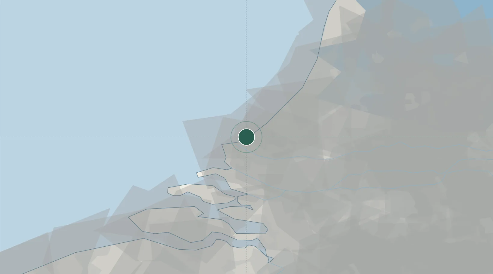
Location
Nearby Logistics Neighbours
Cities
- 1's-Gravenzande4 km
- 2Hoek van Holland8 km
- 3Scheveningen9 km
- 4The Hague11 km
- 5Europoort12 km
Ports
- 1Hoek Van Holland10 km
- 2Europoort10 km
- 3Scheveningen10 km
- 4Maassluis14 km
- 5Vlaardingen19 km
Airports
Trade Zones
- 1ZFU Tourcoing162 km
- 2ZFU Hem et Roubaix165 km
- 3ZFU Saint Pol sur Mer169 km
- 4ZFU de Lille et de Loos175 km
- 5Freeport of Duisburg179 km
DatabookThe Record of Consolidated Knowledge
Netherlands beyond logistics?