UN/LOCODE hub · Netherlands
NLGRZ
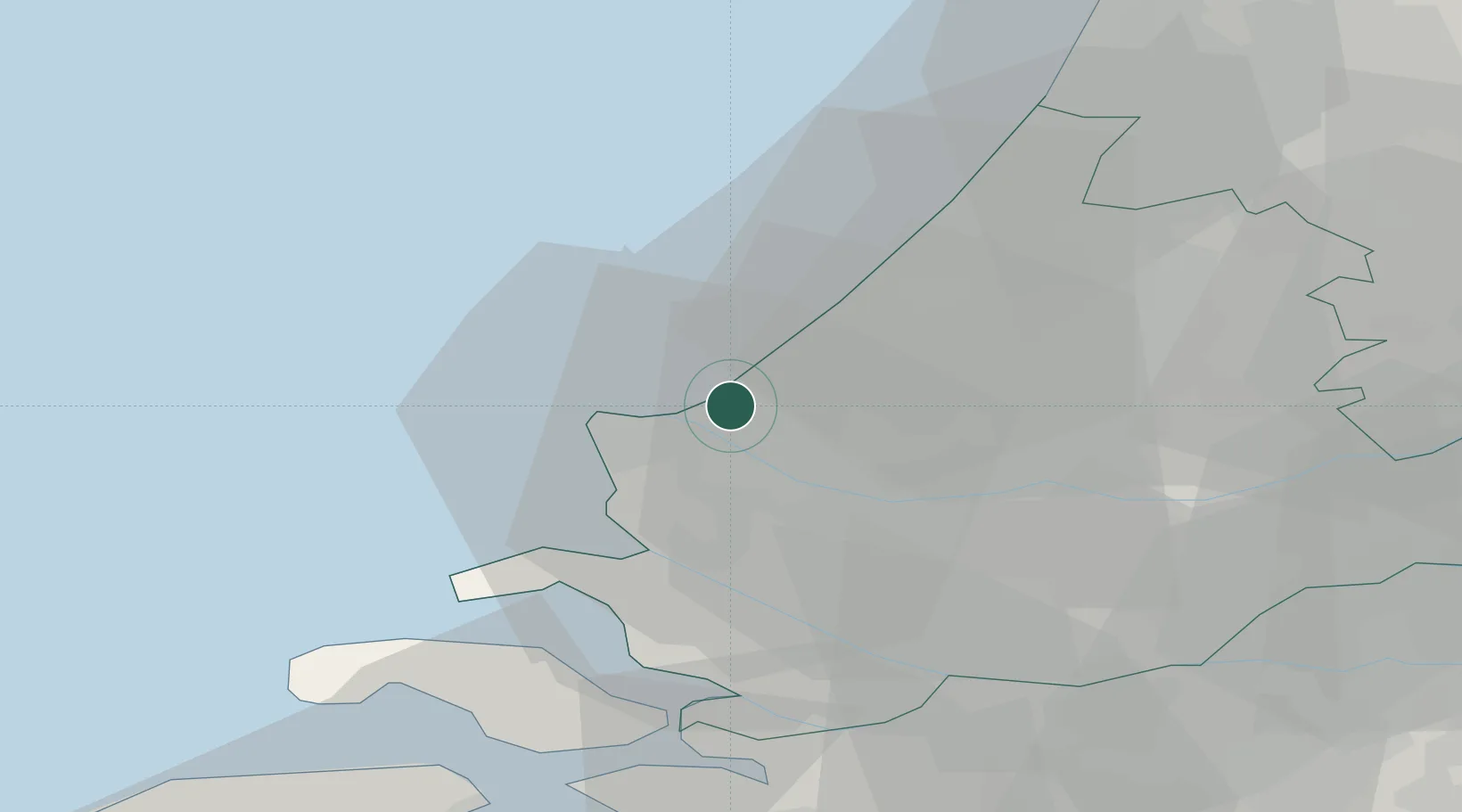
's-Gravenzande
52.0000°, 4.1667°
19,190
Population
2
Transport functions
Transport Functions
Port
Road
Hub Profile
Place type
Populated place
Region
South Holland
Population
19,190
Time zone
Europe/Amsterdam
Elevation
3 m
Location
Nearby Logistics Neighbours
Cities
- 1Ter Heijde4 km
- 2Hoek van Holland5 km
- 3Europoort9 km
- 4Maasvlakte12 km
- 5Scheveningen13 km
Ports
- 1Hoek Van Holland6 km
- 2Europoort7 km
- 3Maassluis11 km
- 4Scheveningen13 km
- 5Vlaardingen17 km
Airports
Trade Zones
- 1ZFU Tourcoing158 km
- 2ZFU Hem et Roubaix162 km
- 3ZFU Saint Pol sur Mer166 km
- 4ZFU de Lille et de Loos172 km
- 5ZFU Condé sur lEscaut175 km
DatabookThe Record of Consolidated Knowledge
Netherlands beyond logistics?