UN/LOCODE hub · Netherlands
NLHAG

The Hague

52.0833°, 4.3000°
474,292
Population
4
Transport functions

Transport Functions

Rail
Road
Airport
Multimodal
UN/LOCODE

Hub Profile

Place type
Seat of government
GeoNames
Region
South Holland
GeoNames
Population
474,292
GeoNames
Time zone
Europe/Amsterdam
GeoNames
Elevation
4 m
GeoNames

Location

Location of NLHAG
Natural Earth 10m (public domain) · South Holland · NLHAG · 52.08, 4.30GoogleOSMYandex

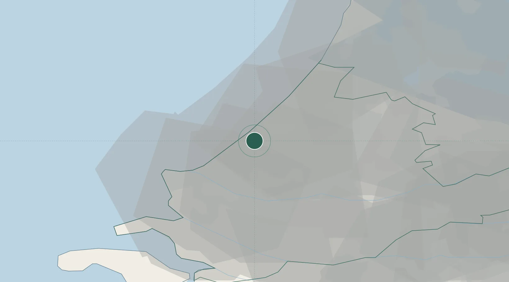
Nearby Logistics Neighbours

Cities
  1. 1Scheveningen4 km
  2. 2Ter Heijde11 km
  3. 3Stompwijk12 km
  4. 4's-Gravenzande13 km
  5. 5Zoeterwoude14 km
Nearest neighbours — logibook spatial index (haversine) over the source coordinates
Ports
  1. 1Scheveningen3 km
  2. 2Hoek Van Holland19 km
  3. 3Maassluis19 km
  4. 4Europoort19 km
  5. 5Vlaardingen21 km
Nearest neighbours — logibook spatial index (haversine) over the source coordinates
Airports
  1. 1Rotterdam The Hague Airport17 km
  2. 2Amsterdam Airport Schiphol40 km
  3. 3Woensdrecht Air Base71 km
  4. 4Gilze Rijen Air Base72 km
  5. 5Lelystad Airport92 km
Nearest neighbours — logibook spatial index (haversine) over the source coordinates
Trade Zones
  1. 1ZFU Tourcoing171 km
  2. 2Freeport of Duisburg173 km
  3. 3ZFU Hem et Roubaix174 km
  4. 4ZFU Saint Pol sur Mer179 km
  5. 5ZFU de Lille et de Loos185 km
Nearest neighbours — logibook spatial index (haversine) over the source coordinates
DatabookThe Record of Consolidated Knowledge
Netherlands beyond logistics?
Browse databook

All Sources

LocationsUN/LOCODE
UN/LOCODE — free
LocationsGeoNames
CC BY 4.0
Portsthe NGA World Port Index
Public domain (US gov)
AirportsOurAirports
Public domain
Trade Zonesthe World Bank SEZ database
CC BY 4.0
Trade ZonesOpen Zone Map
CC BY
← Netherlands locations