Transport Functions
Multimodal
Hub Profile
Place type
Populated place
Region
South Holland
Time zone
Europe/Amsterdam
Elevation
-4 m
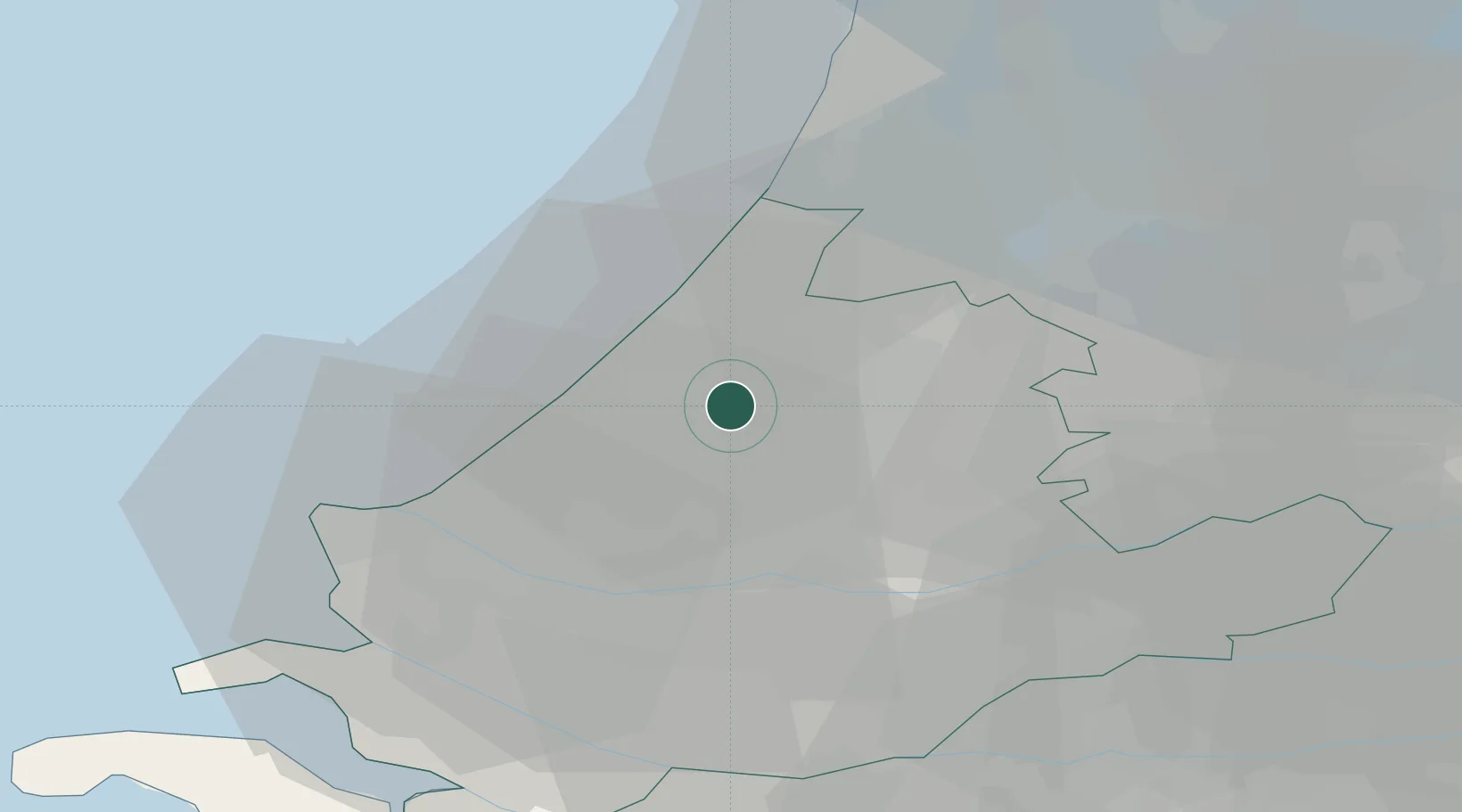
Location
Nearby Logistics Neighbours
Cities
- 1Zoeterwoude3 km
- 2Groenendijk8 km
- 3Oud Ade11 km
- 4Hoogmade11 km
- 5The Hague12 km
Ports
- 1Scheveningen14 km
- 2Rotterdam22 km
- 3Schiedam23 km
- 4Vlaardingen24 km
- 5Maassluis25 km
Airports
- 1Rotterdam The Hague Airport16 km
- 2Amsterdam Airport Schiphol31 km
- 3Gilze Rijen Air Base67 km
- 4Woensdrecht Air Base73 km
- 5Lelystad Airport81 km
Trade Zones
- 1Freeport of Duisburg163 km
- 2ZFU Tourcoing178 km
- 3ZFU Hem et Roubaix181 km
- 4Rheinische Revier SWZ187 km
- 5ZFU Saint Pol sur Mer189 km
DatabookThe Record of Consolidated Knowledge
Netherlands beyond logistics?