Transport Functions
Port
Rail
Road
Hub Profile
Place type
Populated place
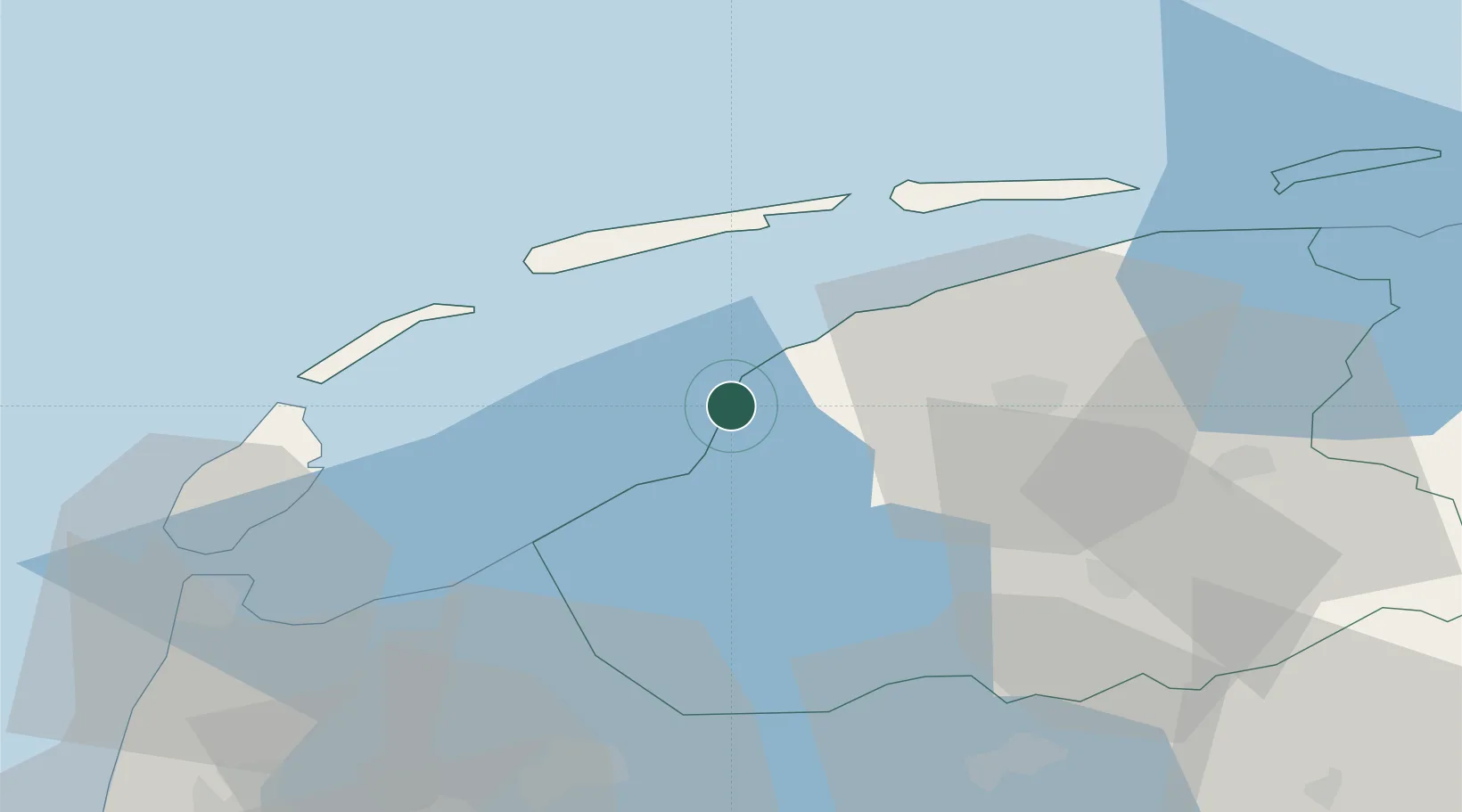
Region
Friesland
Population
16,119
Time zone
Europe/Amsterdam
Elevation
3 m
Location
Nearby Logistics Neighbours
Cities
- 1Pingjum7 km
- 2Leons8 km
- 3Welsrijp11 km
- 4Exmorrazijl13 km
- 5Burgwerd14 km
Ports
- 1Den Helder50 km
- 2Zaandam93 km
- 3Eemshaven98 km
- 4Amsterdam98 km
- 5Ijmuiden98 km
Airports
- 1Leeuwarden Air Base22 km
- 2De Kooy Airfield / Den Helder Naval Air Station52 km
- 3Groningen Airport Eelde77 km
- 4Lelystad Airport81 km
- 5Borkum Airport96 km
Trade Zones
DatabookThe Record of Consolidated Knowledge
Netherlands beyond logistics?