Transport Functions
Port
Road
Hub Profile
Logistics facilities
1
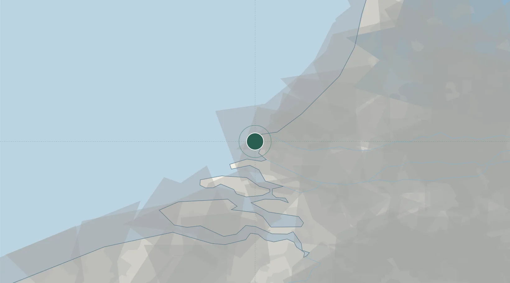
Location
Nearby Logistics Neighbours
Cities
- 1Hoek van Holland7 km
- 2Rockanje10 km
- 3Europoort12 km
- 4's-Gravenzande12 km
- 5Ter Heijde14 km
Ports
- 1Europoort7 km
- 2Hoek Van Holland8 km
- 3Maassluis17 km
- 4Vlaardingen24 km
- 5Scheveningen24 km
Airports
Trade Zones
- 1ZFU Tourcoing149 km
- 2ZFU Hem et Roubaix152 km
- 3ZFU Saint Pol sur Mer155 km
- 4ZFU de Lille et de Loos162 km
- 5ZFU Condé sur lEscaut168 km
DatabookThe Record of Consolidated Knowledge
Netherlands beyond logistics?