Transport Functions
Port
Road
Hub Profile
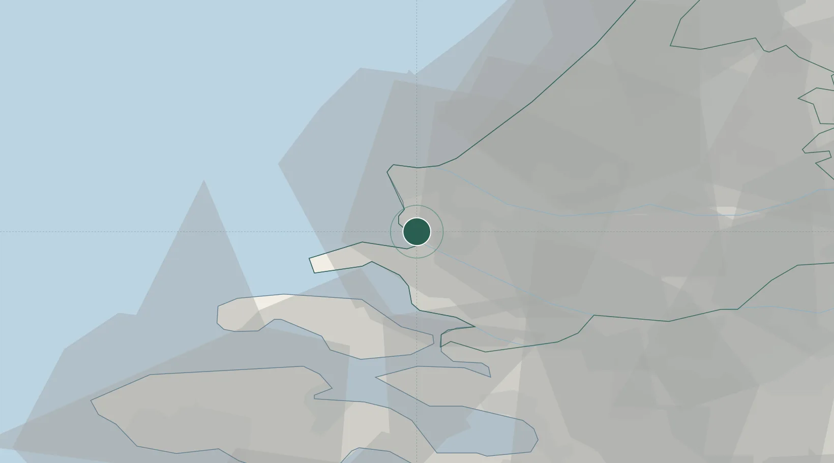
Place type
Populated place
Region
South Holland
Population
1,275
Time zone
Europe/Amsterdam
Elevation
-1 m
Location
Nearby Logistics Neighbours
Cities
- 1Vierpolders7 km
- 2Europoort10 km
- 3Maasvlakte10 km
- 4Zwartewaal10 km
- 5Hoek van Holland12 km
Ports
- 1Europoort10 km
- 2Hoek Van Holland10 km
- 3Maassluis14 km
- 4Vlaardingen20 km
- 5Schiedam23 km
Airports
Trade Zones
- 1ZFU Tourcoing142 km
- 2ZFU Hem et Roubaix145 km
- 3ZFU Saint Pol sur Mer152 km
- 4ZFU de Lille et de Loos156 km
- 5ZFU Condé sur lEscaut159 km
DatabookThe Record of Consolidated Knowledge
Netherlands beyond logistics?