UN/LOCODE hub · Netherlands
NLHVH
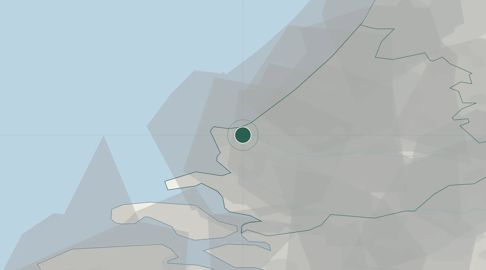
Hoek van Holland
51.9667°, 4.1167°
9,400
Population
3
Transport functions
Transport Functions
Port
Rail
Road
Hub Profile
Place type
Populated place
Region
South Holland
Population
9,400
Time zone
Europe/Amsterdam
Elevation
4 m
Location
Nearby Logistics Neighbours
Cities
- 1's-Gravenzande5 km
- 2Europoort7 km
- 3Maasvlakte7 km
- 4Ter Heijde8 km
- 5Rockanje12 km
Ports
- 1Europoort2 km
- 2Maassluis11 km
- 3Vlaardingen18 km
- 4Scheveningen18 km
- 5Schiedam21 km
Airports
Trade Zones
- 1ZFU Tourcoing153 km
- 2ZFU Hem et Roubaix157 km
- 3ZFU Saint Pol sur Mer161 km
- 4ZFU de Lille et de Loos167 km
- 5ZFU Condé sur lEscaut171 km
DatabookThe Record of Consolidated Knowledge
Netherlands beyond logistics?