Seaport · Malaysia
Kota KinabaluMYBKI
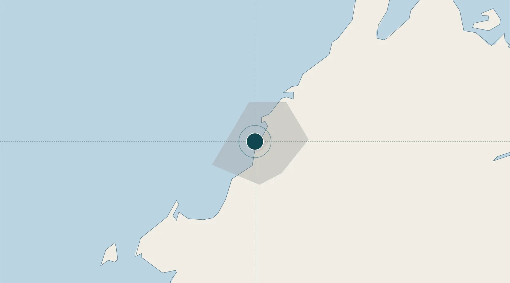
5.9833°, 116.0667°
7.9 m
Channel depth
1
Container terminals
75.8
Port liner connectivity
Channel & Berth Profile
Pilotage, Tugs & Services
Pilotage compulsoryNO
Pilotage availableYES
Tug assistanceYES
Potable waterYES
Diesel bunkersYES
MedicalYES
Garbage disposalNO
Facilities & Capabilities
ContainerYES
Ro-RoYES
Liquid bulk—
Dry bulk—
Oil terminal—
Break bulkYES
Dry dock—
RepairsNO
BunkeringYES
Rail linkYES
Dangerous cargo—
ISPS security—
Harbour Specifications
Harbour size
Medium
Harbour type
Coastal (Natural)
Shelter
Fair
Water body
South China Sea; North Pacific Ocean
Tidal range
1 m
Pilotage
No
Liner Connectivity
75.8
PLSCI
Port Liner Shipping Connectivity Index for Kota Kinabalu, as published by UNCTAD for the latest available quarter. Higher values indicate stronger scheduled liner-shipping integration.
Shown relative to the highest per-port PLSCI in the dataset (1,657.9).
Location
Container Terminals · 1
SAPANGAR BAY CONTAINER PORT (SBCP)
SBCP SABAH PORTS SDN. BHD.
Nearby Logistics Neighbours
Ports
- 1Kudat132 km
- 2Muara Harbor153 km
- 3Bandar Seri Begawan179 km
- 4Pelabuhan Sandakan227 km
- 5Lumut228 km
Cities
- 1Kimanis, Sabah45 km
- 2Kota Belud, Sabah58 km
- 3Bedong78 km
- 4Beaufort80 km
- 5Kota Marudu96 km
Airports
- 1Kota Kinabalu International Airport6 km
- 2Labuan Airport118 km
- 3Kudat Airport135 km
- 4Lawas Airport146 km
- 5Brunei International Airport171 km
Trade Zones
DatabookThe Record of Consolidated Knowledge
Malaysia beyond logistics?