UN/LOCODE hub · Malaysia
MYBKI
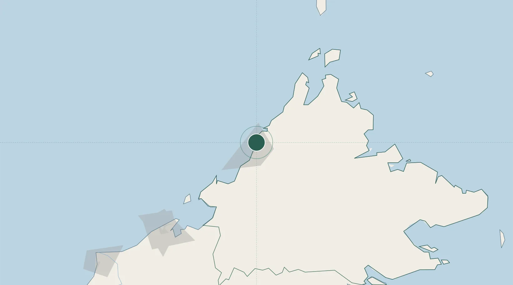
Kota Kinabalu, Sabah
6.0823°, 116.1465°
4
Transport functions
1
Container terminals
Transport Functions
Port
Road
Airport
Postal
Hub Profile
Region
12
Logistics facilities
7
Container terminals
1
Location
Nearby Logistics Neighbours
Cities
- 1Kota Belud, Sabah44 km
- 2Kimanis, Sabah59 km
- 3Bedong79 km
- 4Kota Marudu83 km
- 5Beaufort94 km
Ports
- 1Kudat118 km
- 2Muara Harbor167 km
- 3Bandar Seri Begawan193 km
- 4Pelabuhan Sandakan220 km
- 5Lumut242 km
Airports
- 1Kota Kinabalu International Airport20 km
- 2Kudat Airport121 km
- 3Labuan Airport132 km
- 4Lawas Airport160 km
- 5Brunei International Airport185 km
Trade Zones
DatabookThe Record of Consolidated Knowledge
Malaysia beyond logistics?