Small airport · Malaysia
Lawas AirportWBGW
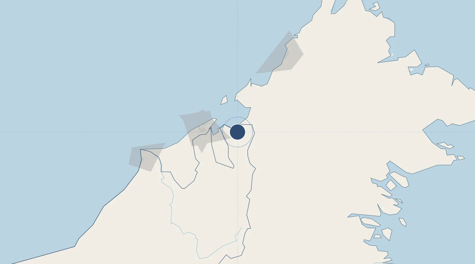
4.8492°, 115.4080°
2,251 ft
Longest runway
1
Runways
5 ft
Elevation
Runway & Layout

Runways · 1
| Runway | Dimensions | Surface | True heading | Lit |
|---|---|---|---|---|
| 01/19 | 2,251 × 59ft | — | — | — |
Airport Specifications
IATA code
LWY
ICAO code
WBGW
Airport class
Small airport
Scheduled service
Yes
Served city
Lawas
Location
Nearby Logistics Neighbours
Airports
- 1Limbang Airport44 km
- 2Labuan Airport53 km
- 3Brunei International Airport54 km
- 4Bakalalan Airport100 km
- 5Long Seridan Airport104 km
Cities
- 1Muara42 km
- 2Menumbok50 km
- 3Labuan51 km
- 4Bandar Seri Begawan53 km
- 5Batu Batu, Sabah63 km
Ports
- 1Muara Harbor43 km
- 2Bandar Seri Begawan58 km
- 3Lumut107 km
- 4Seria Oil Loading Terminal124 km
- 5Kuala Belait136 km
Trade Zones
- 1Muara Export Zone43 km
- 2Terunjing Free Trade Zone43 km
- 3Labuan Offshore Financial Centre51 km
- 4Sabah Development Corridor142 km
- 5Mas Cargo Free Zone, Penang168 km
DatabookThe Record of Consolidated Knowledge
Malaysia beyond logistics?