Large airport · Malaysia
Kota Kinabalu International AirportWBKK
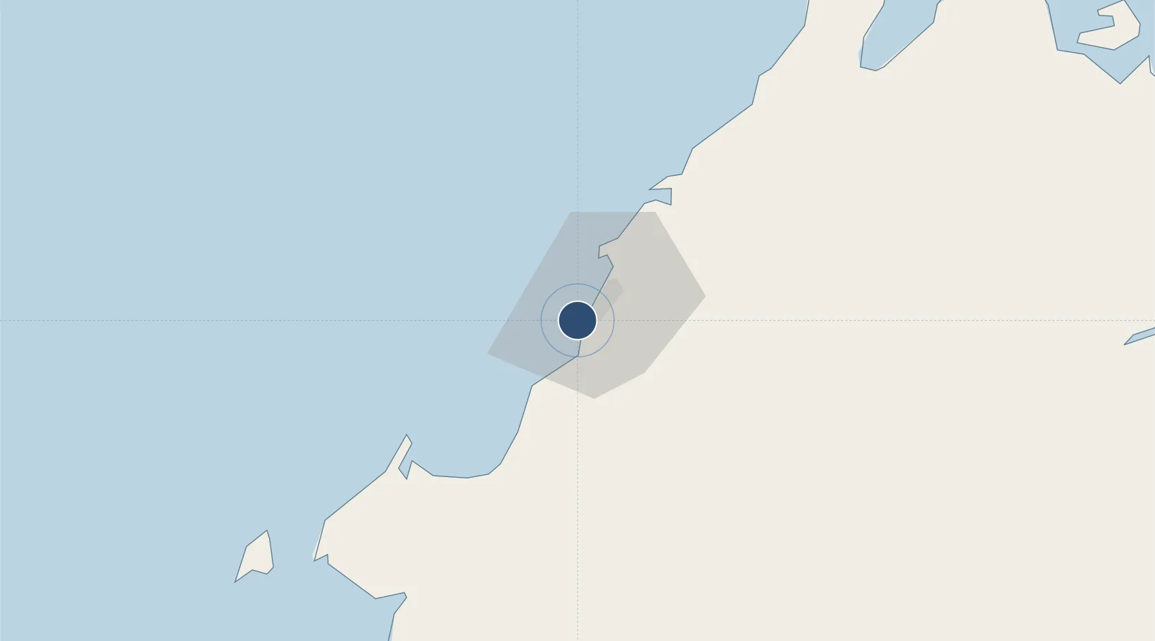
5.9327°, 116.0493°
12,402 ft
Longest runway
1
Runways
10 ft
Elevation
Runway & Layout

Radio Frequencies
ATIS
127.4 MHz
TWR
118.3 MHz
KINABALU TWR
GND
121.6 MHz
KINABALU GND
A/D
119.1 MHz
KINABALU APP
A/G
682.5 MHz
KINABALU RDO
ACC
126.1 MHz
KINABALU CON
INFO
133.3 MHz
KINABALU
Navaids
JSL NDB Kota Kinabalu 400 kHz
VJN VOR-DME Kota Kinabalu 113.10 MHz
Runways · 1
| Runway | Dimensions | Surface | True heading | Lit |
|---|---|---|---|---|
| 02/20 | 12,402 × 148ft | Asphalt | 023° | ✓ |
Airport Specifications
IATA code
BKI
ICAO code
WBKK
Airport class
Large airport
Scheduled service
Yes
Runway surface
Asphalt
Served city
Kota Kinabalu
Location
Nearby Logistics Neighbours
Airports
- 1Labuan Airport113 km
- 2Lawas Airport140 km
- 3Kudat Airport141 km
- 4Brunei International Airport166 km
- 5Limbang Airport170 km
Cities
- 1Kota Kinabalu, Sabah20 km
- 2Kimanis, Sabah39 km
- 3Kota Belud, Sabah63 km
- 4Beaufort74 km
- 5Bedong77 km
Ports
- 1Kota Kinabalu6 km
- 2Kudat138 km
- 3Muara Harbor148 km
- 4Bandar Seri Begawan174 km
- 5Lumut223 km
Trade Zones
- 1Sabah Development Corridor3 km
- 2Labuan Offshore Financial Centre115 km
- 3Muara Export Zone148 km
- 4Terunjing Free Trade Zone148 km
- 5Mas Cargo Free Zone, Penang290 km
DatabookThe Record of Consolidated Knowledge
Malaysia beyond logistics?