Runway & Layout

Airport Specifications
IATA code
KUD
ICAO code
WBKT
Airport class
Small airport
Scheduled service
Yes
Served city
Kudat
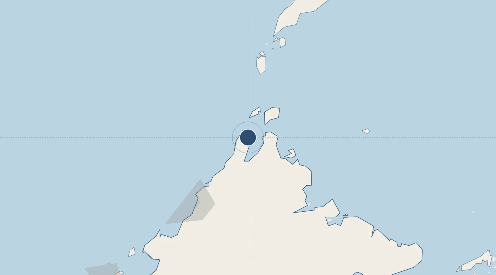
Location
Nearby Logistics Neighbours
Airports
- 1Kota Kinabalu International Airport141 km
- 2Sandakan Airport177 km
- 3Labuan Airport252 km
- 4Tomanggong Airport263 km
- 5Lahad Datu Airport267 km
Cities
- 1Bangau15 km
- 2Kota Marudu48 km
- 3Kota Belud, Sabah78 km
- 4Jambongan, Sabah79 km
- 5Balabac, Palawan118 km
Ports
- 1Kudat5 km
- 2Kota Kinabalu135 km
- 3Pelabuhan Sandakan186 km
- 4Lahad Datu268 km
- 5Muara Harbor287 km
Trade Zones
DatabookThe Record of Consolidated Knowledge
Malaysia beyond logistics?