Transport Functions
Port
Hub Profile
Region
12
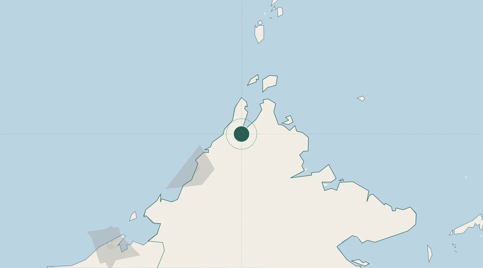
Location
Nearby Logistics Neighbours
Cities
- 1Kota Belud, Sabah40 km
- 2Bangau51 km
- 3Kota Kinabalu, Sabah83 km
- 4Jambongan, Sabah83 km
- 5Bedong103 km
Ports
- 1Kudat44 km
- 2Kota Kinabalu96 km
- 3Pelabuhan Sandakan167 km
- 4Lahad Datu238 km
- 5Muara Harbor249 km
Airports
- 1Kudat Airport48 km
- 2Kota Kinabalu International Airport101 km
- 3Sandakan Airport158 km
- 4Labuan Airport214 km
- 5Lawas Airport237 km
Trade Zones
- 1Sabah Development Corridor99 km
- 2Labuan Offshore Financial Centre216 km
- 3Rio Tuba Export Processing Zone239 km
- 4Muara Export Zone249 km
- 5Terunjing Free Trade Zone249 km
DatabookThe Record of Consolidated Knowledge
Malaysia beyond logistics?