Transport Functions
Port
Hub Profile
Region
12
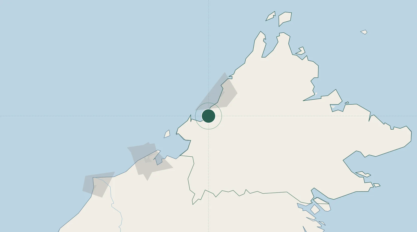
Location
Nearby Logistics Neighbours
Cities
- 1Beaufort36 km
- 2Kota Kinabalu, Sabah59 km
- 3Batu Batu, Sabah65 km
- 4Menumbok69 km
- 5Labuan82 km
Ports
- 1Kota Kinabalu45 km
- 2Muara Harbor113 km
- 3Bandar Seri Begawan139 km
- 4Kudat176 km
- 5Lumut189 km
Airports
- 1Kota Kinabalu International Airport39 km
- 2Labuan Airport80 km
- 3Lawas Airport101 km
- 4Brunei International Airport131 km
- 5Limbang Airport133 km
Trade Zones
- 1Sabah Development Corridor40 km
- 2Labuan Offshore Financial Centre82 km
- 3Muara Export Zone113 km
- 4Terunjing Free Trade Zone113 km
- 5Mas Cargo Free Zone, Penang256 km
DatabookThe Record of Consolidated Knowledge
Malaysia beyond logistics?