Medium airport · Mexico

Licenciado Miguel de la Madrid International AirportMMIA

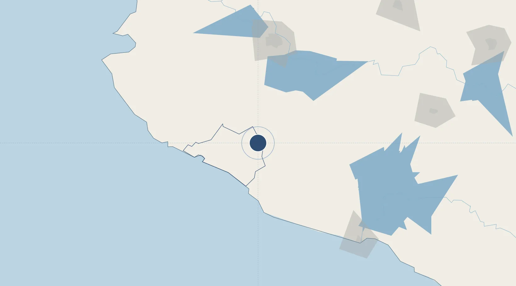
19.2770°, -103.5770°
7,546 ft
Longest runway
1
Runways
2,467 ft
Elevation

Runway & Layout

Licenciado Miguel de la Madrid International Airport runway & taxiway layout
Runway & taxiway layout — OpenStreetMap (ODbL) / OurAirports

Radio Frequencies

TWR
118.9 MHz
OurAirports

Navaids

COL VOR-DME Colima 117.70 MHz
OurAirports

Runways · 1

RunwayDimensions SurfaceTrue headingLit
07/25 7,546 × 148ft Asphalt 074°
OurAirports

Airport Specifications

IATA code
CLQ
OurAirports
ICAO code
MMIA
OurAirports
Airport class
Medium airport
OurAirports
Scheduled service
Yes
OurAirports
Runway surface
Asphalt
OurAirports
Served city
Colima
OurAirports

Location

Location of MMIA
Natural Earth 10m (public domain) · Colima · MMIA · 19.28, -103.58GoogleOSMYandex

Nearby Logistics Neighbours

Cities
  1. 1Jilotlan de los Dolores39 km
  2. 2Ciudad Guzmán49 km
  3. 3Tecomán51 km
  4. 4Manzanillo77 km
  5. 5Mazamitla91 km
Nearest neighbours — logibook spatial index (haversine) over the source coordinates
Ports
  1. 1Manzanillo82 km
  2. 2Lazaro Cardenas211 km
  3. 3Puerto Vallarta231 km
  4. 4Acapulco470 km
  5. 5Mazatlan526 km
Nearest neighbours — logibook spatial index (haversine) over the source coordinates
Trade Zones
  1. 1The Special Economic Zone of Lázaro Cárdenas - La Unión211 km
  2. 2FTZ No. 095 Starr County928 km
  3. 3FTZ No. 012 McAllen938 km
  4. 4Special Economic Zone of Salina Cruz948 km
  5. 5FTZ No. 156 Weslaco954 km
Nearest neighbours — logibook spatial index (haversine) over the source coordinates
DatabookThe Record of Consolidated Knowledge
Mexico beyond logistics?
Browse databook

All Sources

AirportsOurAirports
Public domain
Portsthe NGA World Port Index
Public domain (US gov)
LocationsUN/LOCODE
UN/LOCODE — free
Trade Zonesthe World Bank SEZ database
CC BY 4.0
Trade ZonesOpen Zone Map
CC BY
InfrastructureOpenStreetMap
ODbL 1.0
← Mexico airports