UN/LOCODE hub · Mexico
MXZLO
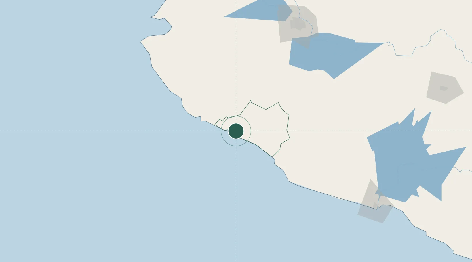
Manzanillo
19.0782°, -104.2773°
159,853
Population
3
Transport functions
3
Container terminals
Transport Functions
Port
Road
Airport
Hub Profile
Place type
Provincial seat
Region
Colima
Population
159,853
Time zone
America/Mexico_City
Elevation
12 m
Logistics facilities
31
Container terminals
3
Location
Nearby Logistics Neighbours
Cities
- 1Tecomán45 km
- 2Ciudad Guzmán111 km
- 3Jilotlan de los Dolores112 km
- 4Cuautla125 km
- 5Villa Corona146 km
Ports
- 1Puerto Vallarta200 km
- 2Lazaro Cardenas256 km
- 3Mazatlan509 km
- 4Acapulco522 km
- 5Tuxpan748 km
Airports
Trade Zones
DatabookThe Record of Consolidated Knowledge
Mexico beyond logistics?