UN/LOCODE hub · Mexico
MXVC5

Villa Corona

20.2333°, -103.6167°
7,603
Population
2
Transport functions

Transport Functions

Rail
Road
UN/LOCODE

Hub Profile

Place type
Provincial seat
GeoNames
Region
Jalisco
GeoNames
Population
7,603
GeoNames
Time zone
America/Mexico_City
GeoNames
Elevation
1,359 m
GeoNames

Location

Location of MXVC5
Natural Earth 10m (public domain) · Jalisco · MXVC5 · 20.23, -103.62GoogleOSMYandex

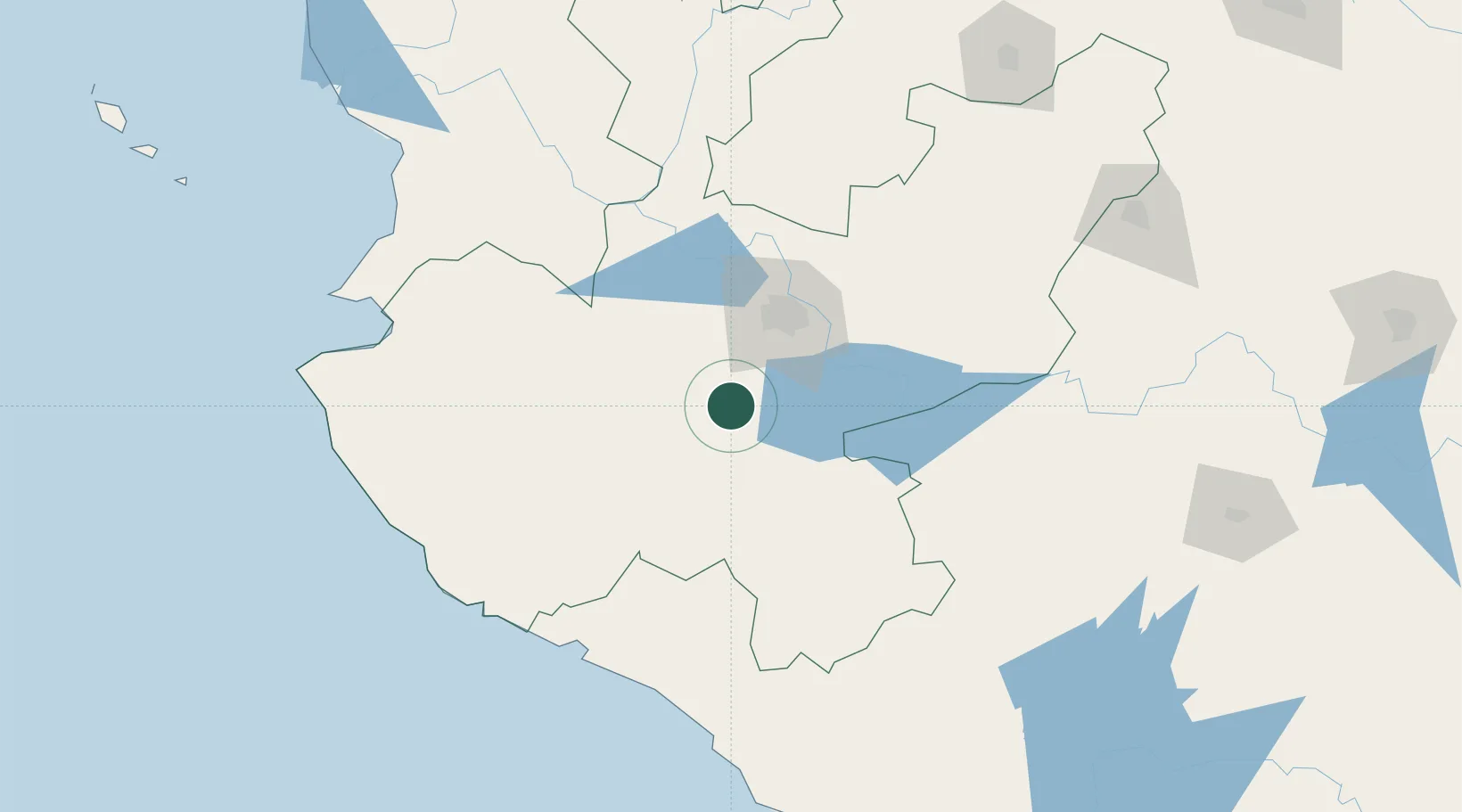
Nearby Logistics Neighbours

Cities
  1. 1Acatlán de Juárez21 km
  2. 2Tlajomulco de Zúñiga32 km
  3. 3Chapala44 km
  4. 4Zapotlanejo45 km
  5. 5Santa Cruz de las Flores46 km
Nearest neighbours — logibook spatial index (haversine) over the source coordinates
Ports
  1. 1Manzanillo151 km
  2. 2Puerto Vallarta177 km
  3. 3Lazaro Cardenas298 km
  4. 4Mazatlan439 km
  5. 5Acapulco541 km
Nearest neighbours — logibook spatial index (haversine) over the source coordinates
Airports
  1. 1Guadalajara International Airport45 km
  2. 2Unitec Guadalajara Helipad52 km
  3. 3Agricola La Tuxcana Airport68 km
  4. 4Licenciado Miguel de la Madrid International Airport106 km
  5. 5Playa de Oro International Airport156 km
Nearest neighbours — logibook spatial index (haversine) over the source coordinates
Trade Zones
  1. 1The Special Economic Zone of Lázaro Cárdenas - La Unión298 km
  2. 2FTZ No. 095 Starr County841 km
  3. 3FTZ No. 012 McAllen855 km
  4. 4FTZ No. 156 Weslaco872 km
  5. 5FTZ No. 157 Casper872 km
Nearest neighbours — logibook spatial index (haversine) over the source coordinates
DatabookThe Record of Consolidated Knowledge
Mexico beyond logistics?
Browse databook

All Sources

LocationsUN/LOCODE
UN/LOCODE — free
LocationsGeoNames
CC BY 4.0
Portsthe NGA World Port Index
Public domain (US gov)
AirportsOurAirports
Public domain
Trade Zonesthe World Bank SEZ database
CC BY 4.0
Trade ZonesOpen Zone Map
CC BY
← Mexico locations