Transport Functions
Rail
Road
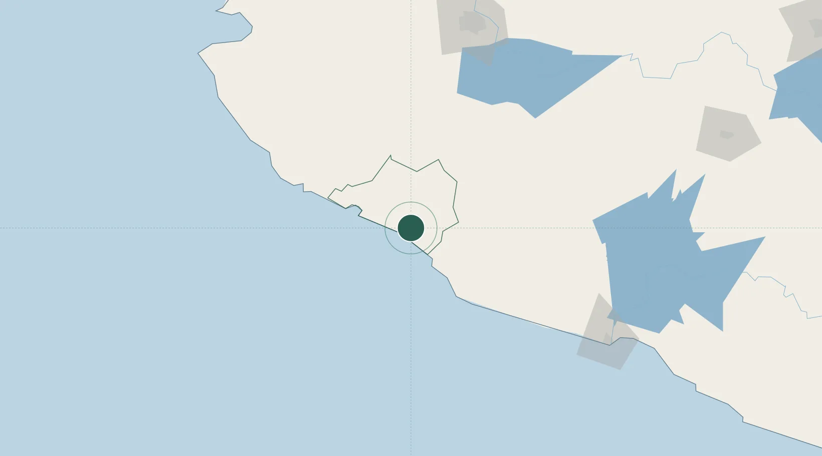
Hub Profile
Place type
Provincial seat
Region
Colima
Population
85,689
Time zone
America/Mexico_City
Elevation
28 m
Location
Nearby Logistics Neighbours
Cities
- 1Manzanillo45 km
- 2Jilotlan de los Dolores76 km
- 3Ciudad Guzmán98 km
- 4Mazamitla143 km
- 5Villa Corona149 km
Ports
- 1Manzanillo48 km
- 2Lazaro Cardenas212 km
- 3Puerto Vallarta238 km
- 4Acapulco477 km
- 5Mazatlan544 km
Airports
Trade Zones
DatabookThe Record of Consolidated Knowledge
Mexico beyond logistics?