UN/LOCODE hub · Mexico
MXGUZ

Ciudad Guzmán

19.7000°, -103.4500°
111,975
Population
3
Transport functions

Transport Functions

Rail
Road
Multimodal
UN/LOCODE

Hub Profile

Place type
Provincial seat
GeoNames
Region
Jalisco
GeoNames
Population
111,975
GeoNames
Time zone
America/Mexico_City
GeoNames
Elevation
1,569 m
GeoNames

Location

Location of MXGUZ
Natural Earth 10m (public domain) · Jalisco · MXGUZ · 19.70, -103.45GoogleOSMYandex

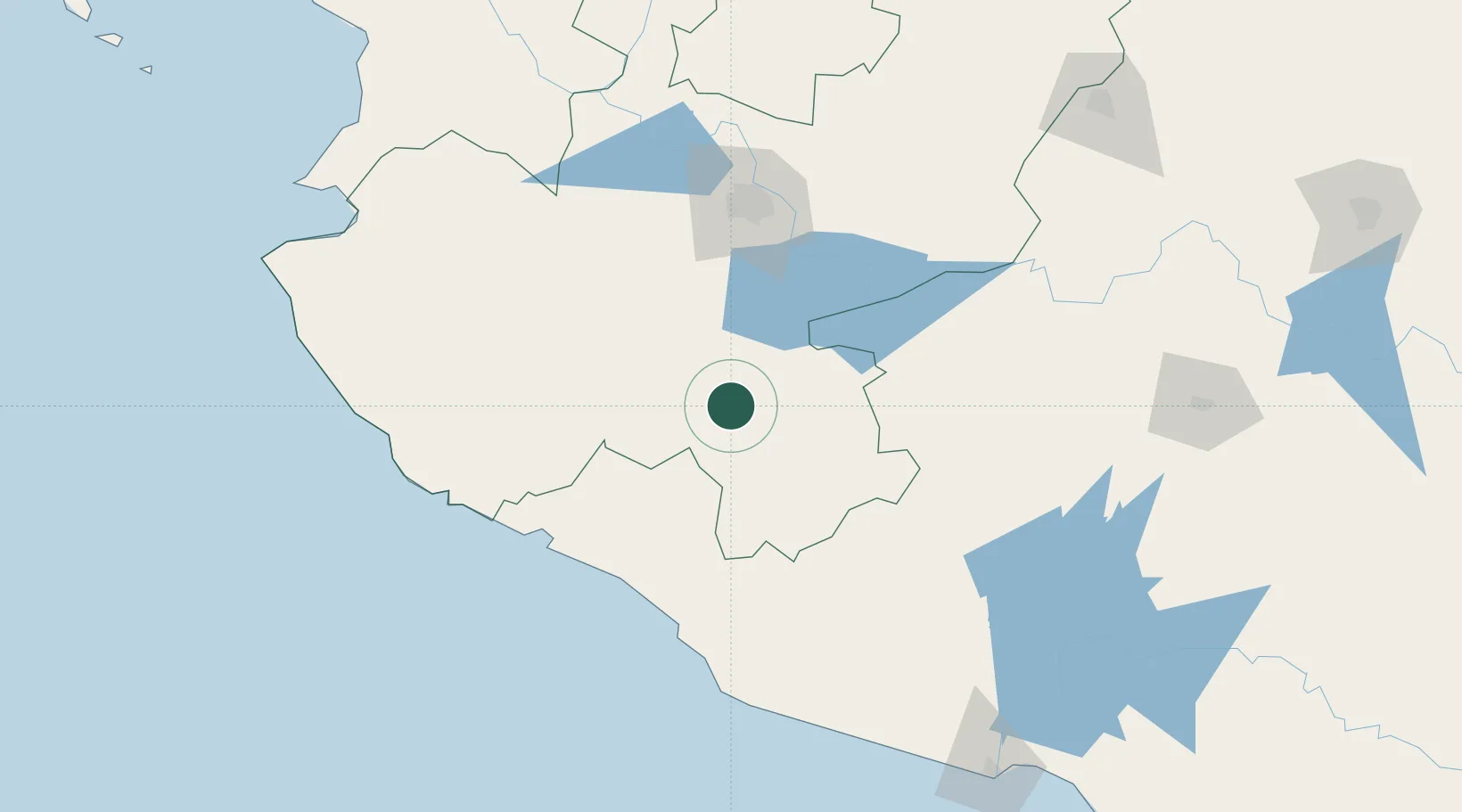
Nearby Logistics Neighbours

Cities
  1. 1Mazamitla50 km
  2. 2Villa Corona62 km
  3. 3Jilotlan de los Dolores62 km
  4. 4Chapala72 km
  5. 5Ixtlahuacan de los Membrillos78 km
Nearest neighbours — logibook spatial index (haversine) over the source coordinates
Ports
  1. 1Manzanillo116 km
  2. 2Puerto Vallarta215 km
  3. 3Lazaro Cardenas238 km
  4. 4Acapulco488 km
  5. 5Mazatlan496 km
Nearest neighbours — logibook spatial index (haversine) over the source coordinates
Airports
  1. 1Licenciado Miguel de la Madrid International Airport49 km
  2. 2Agricola La Tuxcana Airport55 km
  3. 3Guadalajara International Airport93 km
  4. 4Unitec Guadalajara Helipad109 km
  5. 5Playa de Oro International Airport132 km
Nearest neighbours — logibook spatial index (haversine) over the source coordinates
Trade Zones
  1. 1The Special Economic Zone of Lázaro Cárdenas - La Unión239 km
  2. 2FTZ No. 095 Starr County881 km
  3. 3FTZ No. 012 McAllen892 km
  4. 4FTZ No. 156 Weslaco908 km
  5. 5FTZ No. 157 Casper908 km
Nearest neighbours — logibook spatial index (haversine) over the source coordinates
DatabookThe Record of Consolidated Knowledge
Mexico beyond logistics?
Browse databook

All Sources

LocationsUN/LOCODE
UN/LOCODE — free
LocationsGeoNames
CC BY 4.0
Portsthe NGA World Port Index
Public domain (US gov)
AirportsOurAirports
Public domain
Trade Zonesthe World Bank SEZ database
CC BY 4.0
Trade ZonesOpen Zone Map
CC BY
← Mexico locations