Transport Functions
Multimodal
Hub Profile
Place type
Populated place
Region
Jalisco
Time zone
America/Mexico_City
Elevation
1,963 m
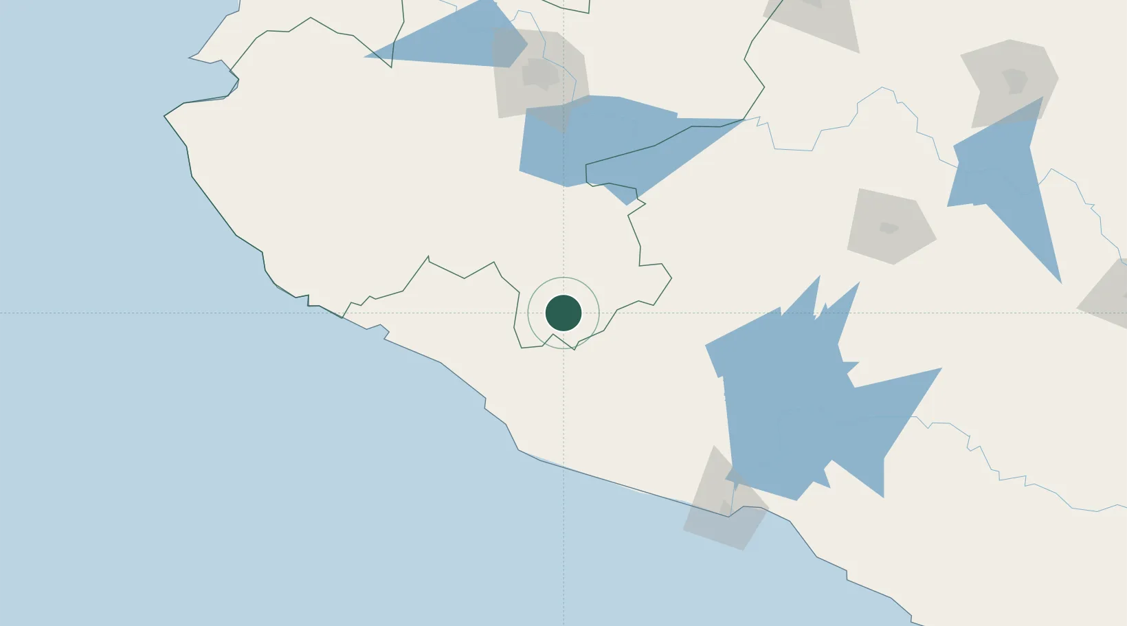
Location
Nearby Logistics Neighbours
Cities
- 1Ciudad Guzmán62 km
- 2Tecomán76 km
- 3Mazamitla84 km
- 4Periban95 km
- 5Tingüindín97 km
Ports
- 1Manzanillo117 km
- 2Lazaro Cardenas178 km
- 3Puerto Vallarta267 km
- 4Acapulco433 km
- 5Mazatlan556 km
Airports
Trade Zones
DatabookThe Record of Consolidated Knowledge
Mexico beyond logistics?