UN/LOCODE hub · Mexico
MXLZC
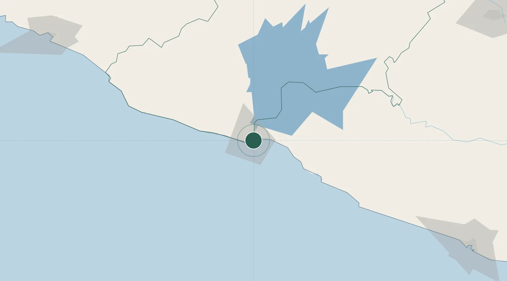
Lázaro Cárdenas
17.9660°, -102.1738°
1
Transport functions
3
Container terminals
Transport Functions
Port
Hub Profile
Place type
Urban district
Region
Guerrero
Time zone
America/Mexico_City
Elevation
21 m
Logistics facilities
9
Container terminals
3
Location
Nearby Logistics Neighbours
Cities
- 1Antunez56 km
- 2Ixtapa/Zihuatanejo65 km
- 3Zihuatanejo76 km
- 4Uruapan del Progreso162 km
- 5Jilotlan de los Dolores174 km
Ports
- 1Manzanillo256 km
- 2Acapulco268 km
- 3Puerto Vallarta438 km
- 4Tuxpan600 km
- 5Veracruz651 km
Airports
DatabookThe Record of Consolidated Knowledge
Mexico beyond logistics?