Medium airport · Mexico

Lázaro Cárdenas AirportMMLC

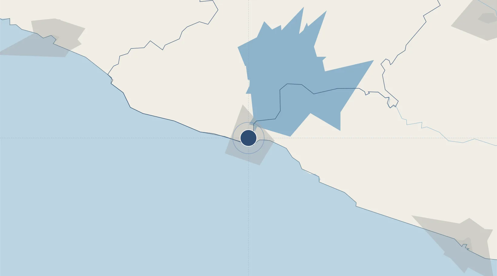
18.0017°, -102.2203°
4,900 ft
Longest runway
1
Runways
39 ft
Elevation

Runway & Layout

Lázaro Cárdenas Airport runway & taxiway layout
Runway & taxiway layout — OpenStreetMap (ODbL) / OurAirports

Runways · 1

RunwayDimensions SurfaceTrue headingLit
01/19 4,900 × 98ft Asphalt 023°
OurAirports

Airport Specifications

IATA code
LZC
OurAirports
ICAO code
MMLC
OurAirports
Airport class
Medium airport
OurAirports
Scheduled service
No
OurAirports
Runway surface
Asphalt
OurAirports
Served city
Lázaro Cárdenas
OurAirports

Location

Location of MMLC
Natural Earth 10m (public domain) · Michoacán · MMLC · 18.00, -102.22GoogleOSMYandex

Nearby Logistics Neighbours

Cities
  1. 1Lázaro Cárdenas6 km
  2. 2Antunez50 km
  3. 3Ixtapa/Zihuatanejo71 km
  4. 4Zihuatanejo82 km
  5. 5Uruapan del Progreso158 km
Nearest neighbours — logibook spatial index (haversine) over the source coordinates
Ports
  1. 1Lazaro Cardenas10 km
  2. 2Manzanillo250 km
  3. 3Acapulco274 km
  4. 4Puerto Vallarta432 km
  5. 5Tuxpan602 km
Nearest neighbours — logibook spatial index (haversine) over the source coordinates
Trade Zones
  1. 1The Special Economic Zone of Lázaro Cárdenas - La Unión10 km
  2. 2Special Economic Zone of Salina Cruz769 km
  3. 3Special Economic Zone of Coatzacoalcos816 km
  4. 4Zona Economica Especial de Tabasco949 km
  5. 5FTZ No. 012 McAllen993 km
Nearest neighbours — logibook spatial index (haversine) over the source coordinates
DatabookThe Record of Consolidated Knowledge
Mexico beyond logistics?
Browse databook

All Sources

AirportsOurAirports
Public domain
Portsthe NGA World Port Index
Public domain (US gov)
LocationsUN/LOCODE
UN/LOCODE — free
Trade Zonesthe World Bank SEZ database
CC BY 4.0
Trade ZonesOpen Zone Map
CC BY
InfrastructureOpenStreetMap
ODbL 1.0
← Mexico airports