Transport Functions
Multimodal
Hub Profile
Place type
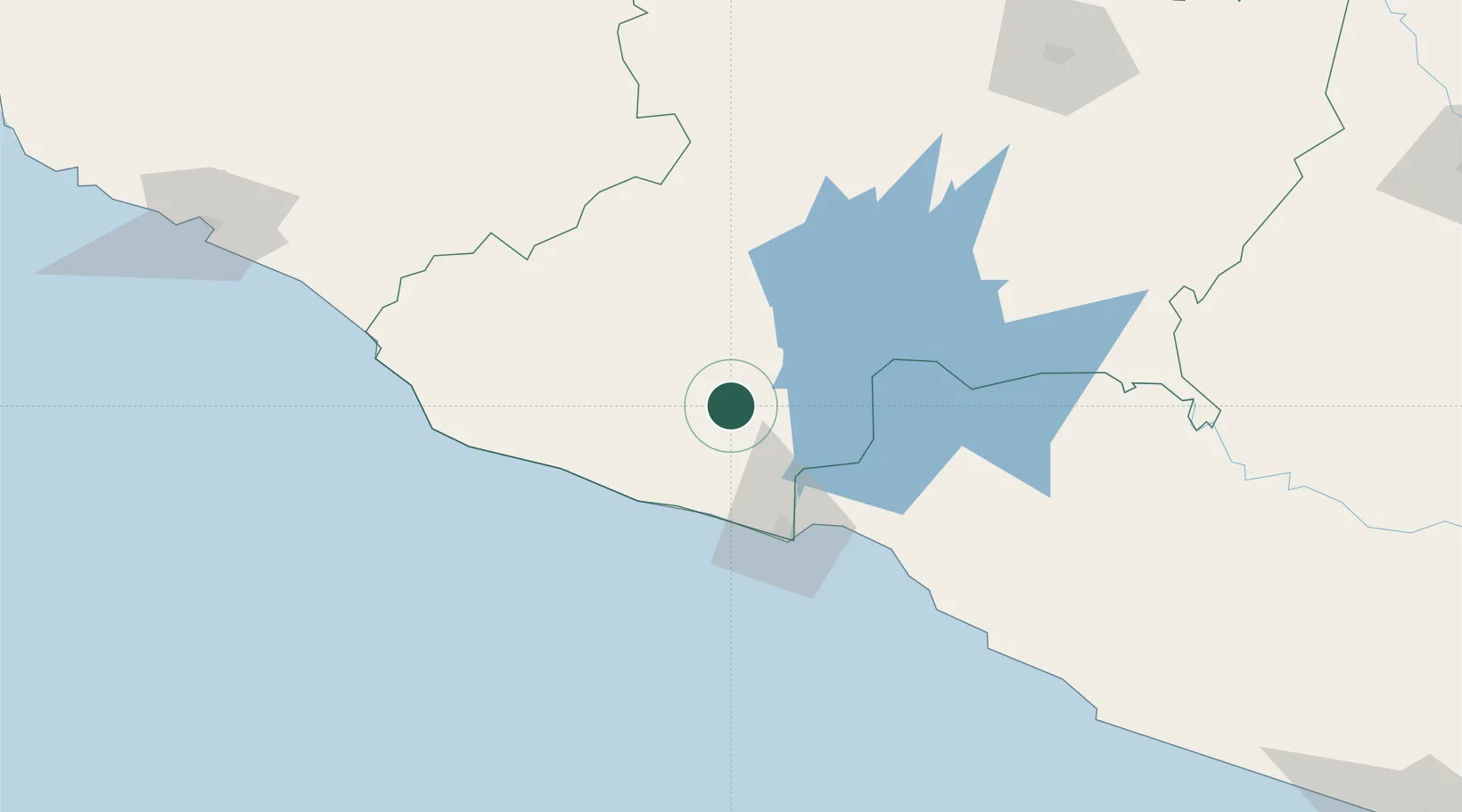
Populated place
Region
Michoacán
Time zone
America/Mexico_City
Elevation
812 m
Location
Nearby Logistics Neighbours
Cities
- 1Lázaro Cárdenas56 km
- 2Ixtapa/Zihuatanejo115 km
- 3Uruapan del Progreso117 km
- 4Jilotlan de los Dolores121 km
- 5Zihuatanejo125 km
Ports
- 1Lazaro Cardenas59 km
- 2Manzanillo214 km
- 3Acapulco314 km
- 4Puerto Vallarta387 km
- 5Tuxpan594 km
Airports
Trade Zones
DatabookThe Record of Consolidated Knowledge
Mexico beyond logistics?