UN/LOCODE hub · Mexico
MXZIH
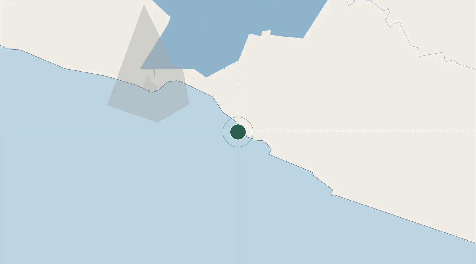
Ixtapa/Zihuatanejo
17.6667°, -101.6500°
67,408
Population
2
Transport functions
Transport Functions
Port
Airport
Hub Profile
Place type
Populated place
Region
Guerrero
Population
67,408
Time zone
America/Mexico_City
Elevation
13 m
Location
Nearby Logistics Neighbours
Cities
- 1Zihuatanejo11 km
- 2Lázaro Cárdenas65 km
- 3Antunez115 km
- 4Uruapan del Progreso200 km
- 5Acapulco210 km
Ports
- 1Lazaro Cardenas62 km
- 2Acapulco204 km
- 3Manzanillo321 km
- 4Puerto Vallarta502 km
- 5Tuxpan576 km
Airports
Trade Zones
DatabookThe Record of Consolidated Knowledge
Mexico beyond logistics?