Transport Functions
Port
Hub Profile
Region
GRO
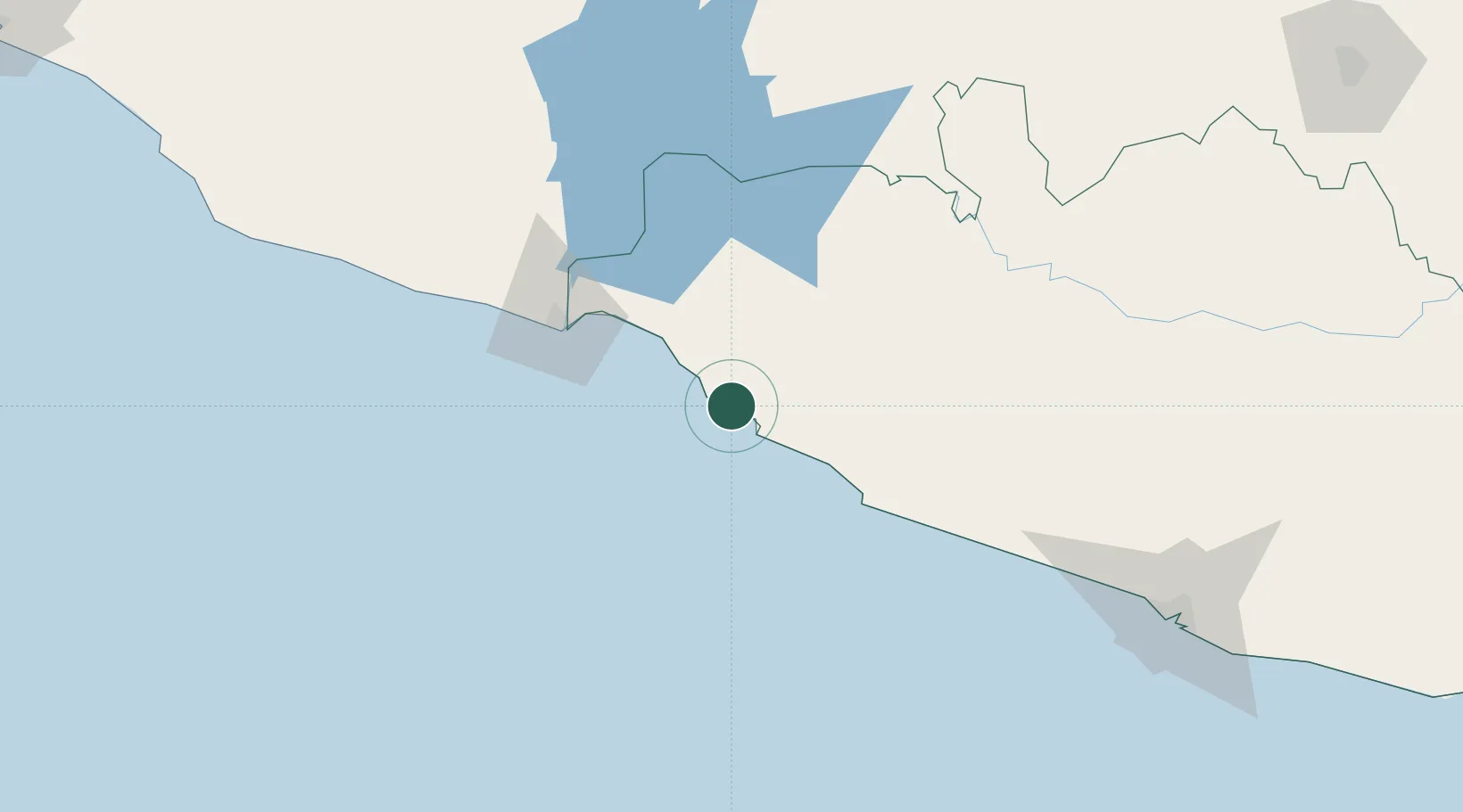
Location
Nearby Logistics Neighbours
Cities
- 1Ixtapa/Zihuatanejo11 km
- 2Lázaro Cárdenas76 km
- 3Antunez125 km
- 4Acapulco199 km
- 5Papalotepec205 km
Ports
- 1Lazaro Cardenas73 km
- 2Acapulco193 km
- 3Manzanillo332 km
- 4Puerto Vallarta512 km
- 5Tuxpan571 km
Airports
Trade Zones
DatabookThe Record of Consolidated Knowledge
Mexico beyond logistics?