Large airport · Mexico

Ixtapa-Zihuatanejo International AirportMMZH

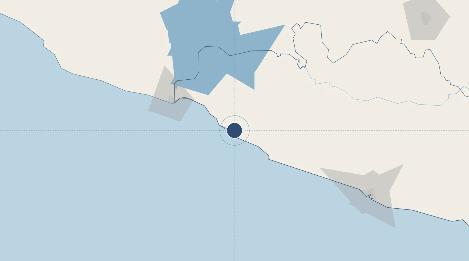
17.6018°, -101.4606°
8,202 ft
Longest runway
1
Runways
26 ft
Elevation

Runway & Layout

Ixtapa-Zihuatanejo International Airport runway & taxiway layout
Runway & taxiway layout — OpenStreetMap (ODbL) / OurAirports

Radio Frequencies

TWR
118.3 MHz
ZIHUATANEJO TWR
APP
121 MHz
ZIHUATANEJO APP
OurAirports

Navaids

ZIH VOR-DME Zihuatanejo 113.80 MHz
OurAirports

Runways · 1

RunwayDimensions SurfaceTrue headingLit
08/26 8,202 × 197ft Asphalt 092°
OurAirports

Airport Specifications

IATA code
ZIH
OurAirports
ICAO code
MMZH
OurAirports
Airport class
Large airport
OurAirports
Scheduled service
Yes
OurAirports
Runway surface
Asphalt
OurAirports
Served city
Ixtapa
OurAirports

Location

Location of MMZH
Natural Earth 10m (public domain) · Guerrero · MMZH · 17.60, -101.46GoogleOSMYandex

Nearby Logistics Neighbours

Cities
  1. 1Zihuatanejo10 km
  2. 2Ixtapa/Zihuatanejo21 km
  3. 3Lázaro Cárdenas86 km
  4. 4Antunez135 km
  5. 5Acapulco189 km
Nearest neighbours — logibook spatial index (haversine) over the source coordinates
Ports
  1. 1Lazaro Cardenas83 km
  2. 2Acapulco183 km
  3. 3Manzanillo342 km
  4. 4Puerto Vallarta522 km
  5. 5Tuxpan566 km
Nearest neighbours — logibook spatial index (haversine) over the source coordinates
Trade Zones
  1. 1The Special Economic Zone of Lázaro Cárdenas - La Unión84 km
  2. 2Special Economic Zone of Salina Cruz680 km
  3. 3Special Economic Zone of Coatzacoalcos739 km
  4. 4Zona Economica Especial de Tabasco873 km
  5. 5FTZ No. 012 McAllen1006 km
Nearest neighbours — logibook spatial index (haversine) over the source coordinates
DatabookThe Record of Consolidated Knowledge
Mexico beyond logistics?
Browse databook

All Sources

AirportsOurAirports
Public domain
Portsthe NGA World Port Index
Public domain (US gov)
LocationsUN/LOCODE
UN/LOCODE — free
Trade Zonesthe World Bank SEZ database
CC BY 4.0
Trade ZonesOpen Zone Map
CC BY
InfrastructureOpenStreetMap
ODbL 1.0
← Mexico airports