Medium airport · Mexico

Minatitlán/Coatzacoalcos International AirportMMMT
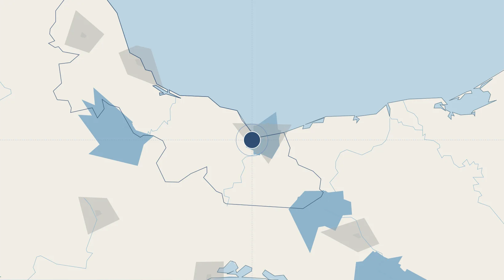
18.1034°, -94.5807°
6,890 ft
Longest runway
1
Runways
36 ft
Elevation

Runway & Layout

Minatitlán/Coatzacoalcos International Airport runway & taxiway layout
Runway & taxiway layout — OpenStreetMap (ODbL) / OurAirports

Radio Frequencies

TWR
118.1 MHz
OurAirports

Navaids

MTT VOR-DME Minatitlan 116.40 MHz
OurAirports

Runways · 1

RunwayDimensions SurfaceTrue headingLit
01/19 6,890 × 148ft Asphalt 018°
OurAirports

Airport Specifications

IATA code
MTT
OurAirports
ICAO code
MMMT
OurAirports
Airport class
Medium airport
OurAirports
Scheduled service
Yes
OurAirports
Runway surface
Asphalt
OurAirports
Served city
Cosoleacaque
OurAirports

Location

Location of MMMT
Natural Earth 10m (public domain) · Veracruz · MMMT · 18.10, -94.58GoogleOSMYandex

Nearby Logistics Neighbours

Cities
  1. 1Cosoleacaque8 km
  2. 2Coatzacoalcos19 km
  3. 3Pajaritos21 km
  4. 4Rabon Grande/Coatzacoalcos23 km
  5. 5Ixhuatlan del Sureste23 km
Nearest neighbours — logibook spatial index (haversine) over the source coordinates
Ports
  1. 1Nanchital18 km
  2. 2Coatzacoalcos18 km
  3. 3Minatitlan23 km
  4. 4Dos Bocas Terminal149 km
  5. 5Veracruz204 km
Nearest neighbours — logibook spatial index (haversine) over the source coordinates
Trade Zones
  1. 1Special Economic Zone of Coatzacoalcos9 km
  2. 2Zona Economica Especial de Tabasco145 km
  3. 3Special Economic Zone of Salina Cruz227 km
  4. 4Special Economic Zone of Puerto Chiapas444 km
  5. 5Special Economic Zone of Campeche448 km
Nearest neighbours — logibook spatial index (haversine) over the source coordinates
DatabookThe Record of Consolidated Knowledge
Mexico beyond logistics?
Browse databook

All Sources

AirportsOurAirports
Public domain
Portsthe NGA World Port Index
Public domain (US gov)
LocationsUN/LOCODE
UN/LOCODE — free
Trade Zonesthe World Bank SEZ database
CC BY 4.0
Trade ZonesOpen Zone Map
CC BY
InfrastructureOpenStreetMap
ODbL 1.0
← Mexico airports