Seaport · Spain
MalagaESAGP
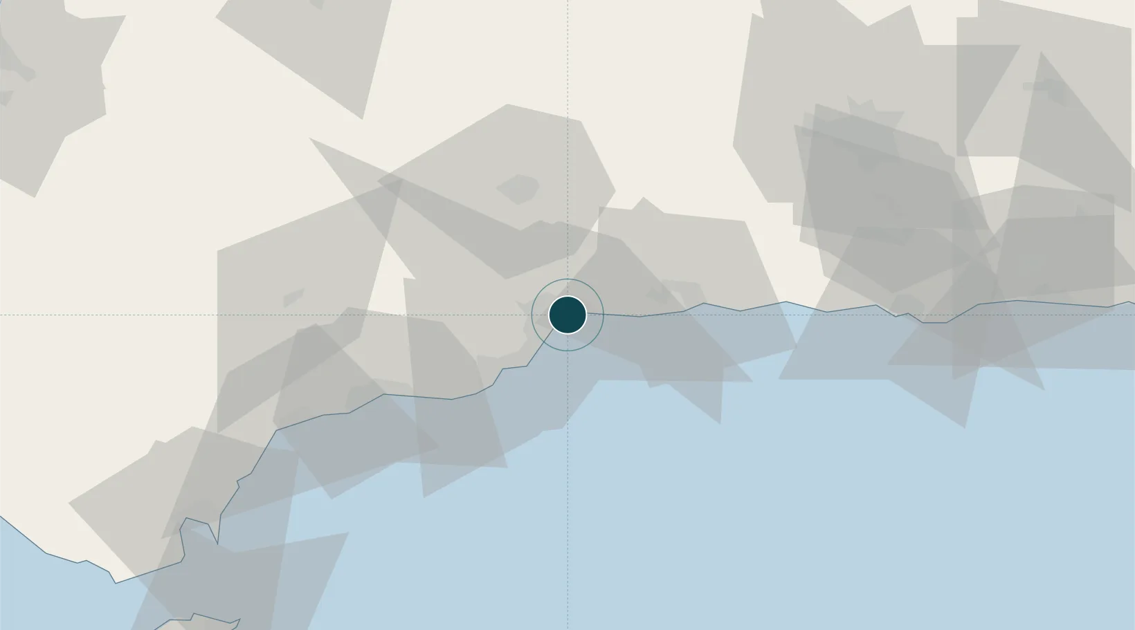
36.7167°, -4.4167°
12.5 m
Channel depth
1
Container terminals
134.8
Port liner connectivity
Channel & Berth Profile
Pilotage, Tugs & Services
Pilotage compulsoryYES
Pilotage availableYES
Pilotage advisableYES
Tug assistanceYES
Potable waterYES
Diesel bunkersYES
MedicalYES
Garbage disposalYES
Facilities & Capabilities
Container—
Ro-Ro—
Liquid bulk—
Dry bulk—
Oil terminal—
Break bulk—
Dry dockNO
RepairsNO
BunkeringYES
Rail linkYES
Dangerous cargo—
ISPS security—
Harbour Specifications
Harbour size
Medium
Harbour type
Coastal (Breakwater)
Shelter
Good
Water body
Mediterranean Sea; North Atlantic Ocean
Tidal range
1 m
Overhead limit
No
Pilotage
Yes
Liner Connectivity
134.8
PLSCI
Port Liner Shipping Connectivity Index for Malaga, as published by UNCTAD for the latest available quarter. Higher values indicate stronger scheduled liner-shipping integration.
Shown relative to the highest per-port PLSCI in the dataset (1,657.9).
Location
Container Terminals · 1
MALAGA TERMINAL
NOATM NOATUM TERMINALS
Nearby Logistics Neighbours
Ports
- 1Motril80 km
- 2Algeciras112 km
- 3Ceuta121 km
- 4Adra123 km
- 5Tangier-Mediterranean134 km
Cities
- 1Yunquera0 km
- 2Churriana9 km
- 3Campanillas10 km
- 4Arroyo de la Miel17 km
- 5Casabermeja19 km
Airports
Trade Zones
DatabookThe Record of Consolidated Knowledge
Spain beyond logistics?