Transport Functions
Port
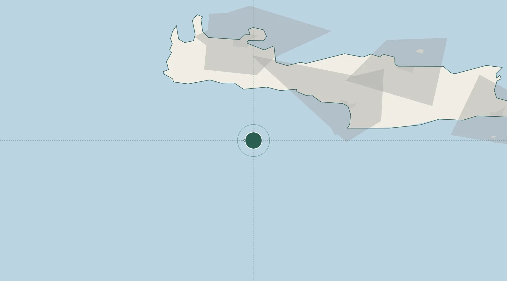
Location
Nearby Logistics Neighbours
Cities
- 1Khóra Sfakíon39 km
- 2Paleohora Sfakion39 km
- 3Loutro Chanion39 km
- 4Plakias44 km
- 5Agia Roumeli45 km
Ports
- 1Rethimnon66 km
- 2Kali Limenes66 km
- 3Soudha71 km
- 4Iraklion109 km
- 5Ayios Nikolaos151 km
Airports
Trade Zones
- 1Free Zone of Heraklion97 km
- 2Tobruk Free Zone313 km
- 3Free Zone of Piraeus347 km
- 4Aegean Free Zone472 km
- 5Izmir Ataturk Organized Industrial Zone481 km
DatabookThe Record of Consolidated Knowledge
Greece beyond logistics?