Seaport · Côte d’Ivoire
San PedroCISPY
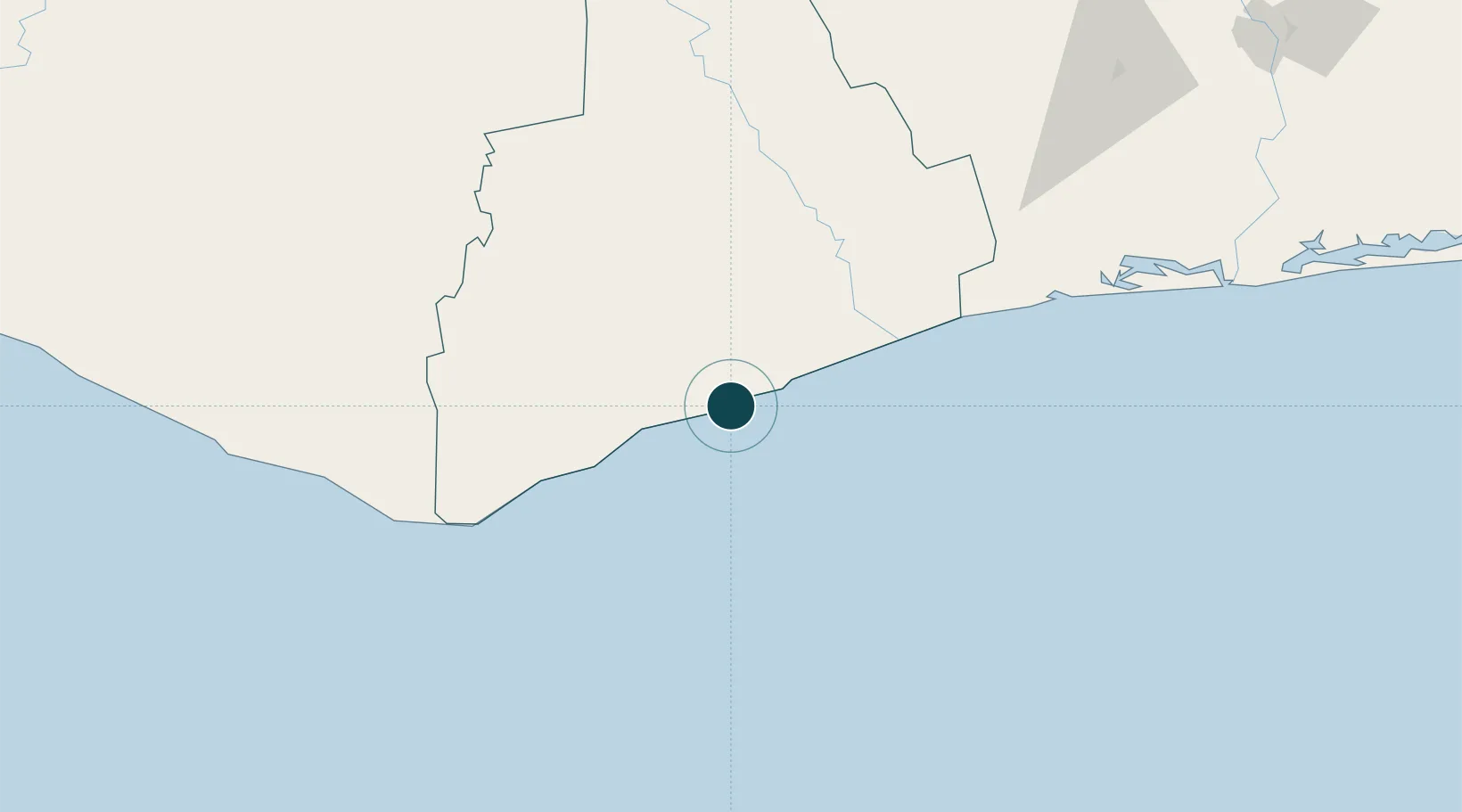
4.7378°, -6.6111°
13.5 m
Channel depth
1
Container terminals
75.5
Port liner connectivity
Channel & Berth Profile
Pilotage, Tugs & Services
Pilotage compulsoryYES
Pilotage availableYES
Tug assistanceYES
Potable waterYES
Diesel bunkersYES
MedicalYES
Garbage disposalYES
Facilities & Capabilities
Container—
Ro-Ro—
Liquid bulk—
Dry bulk—
Oil terminal—
Break bulk—
Dry dock—
Repairs—
BunkeringYES
Rail link—
Dangerous cargo—
ISPS security—
Harbour Specifications
Harbour size
Very Small
Harbour type
Open Roadstead
Shelter
Good
Water body
North Atlantic Ocean
Tidal range
1.5 m
Pilotage
Yes
Liner Connectivity
75.5
PLSCI
Port Liner Shipping Connectivity Index for San Pedro, as published by UNCTAD for the latest available quarter. Higher values indicate stronger scheduled liner-shipping integration.
Shown relative to the highest per-port PLSCI in the dataset (1,657.9).
Location
Container Terminals · 1
SAN-PEDRO CONTAINER TERMINAL
TCSP PORT AUTONOME DE SAN-PEDRO (PASP)
Nearby Logistics Neighbours
Ports
- 1Cape Palmas129 km
- 2Baobab Marine Terminal230 km
- 3Espoir Marine Terminal242 km
- 4Greenville272 km
- 5Abidjan293 km
Cities
- 1Fresco122 km
- 2Harper129 km
- 3Gbabam140 km
- 4Grand Lahou182 km
- 5Baobab Terminal230 km
Airports
- 1San Pedro Airport6 km
- 2Daloa Airport229 km
- 3Greenville/Sinoe Airport274 km
- 4Yamoussoukro International Airport277 km
- 5Man Airport302 km
Trade Zones
- 1San Pedro Economic Zone6 km
- 2Yamoussoukro Industrial Park267 km
- 3PK 24 Industrial Park282 km
- 4Vridi Industrial Park295 km
- 5Koumassi Industrial Park301 km
DatabookThe Record of Consolidated Knowledge
Côte d’Ivoire beyond logistics?