Transport Functions
Rail
Road
Hub Profile
Region
44
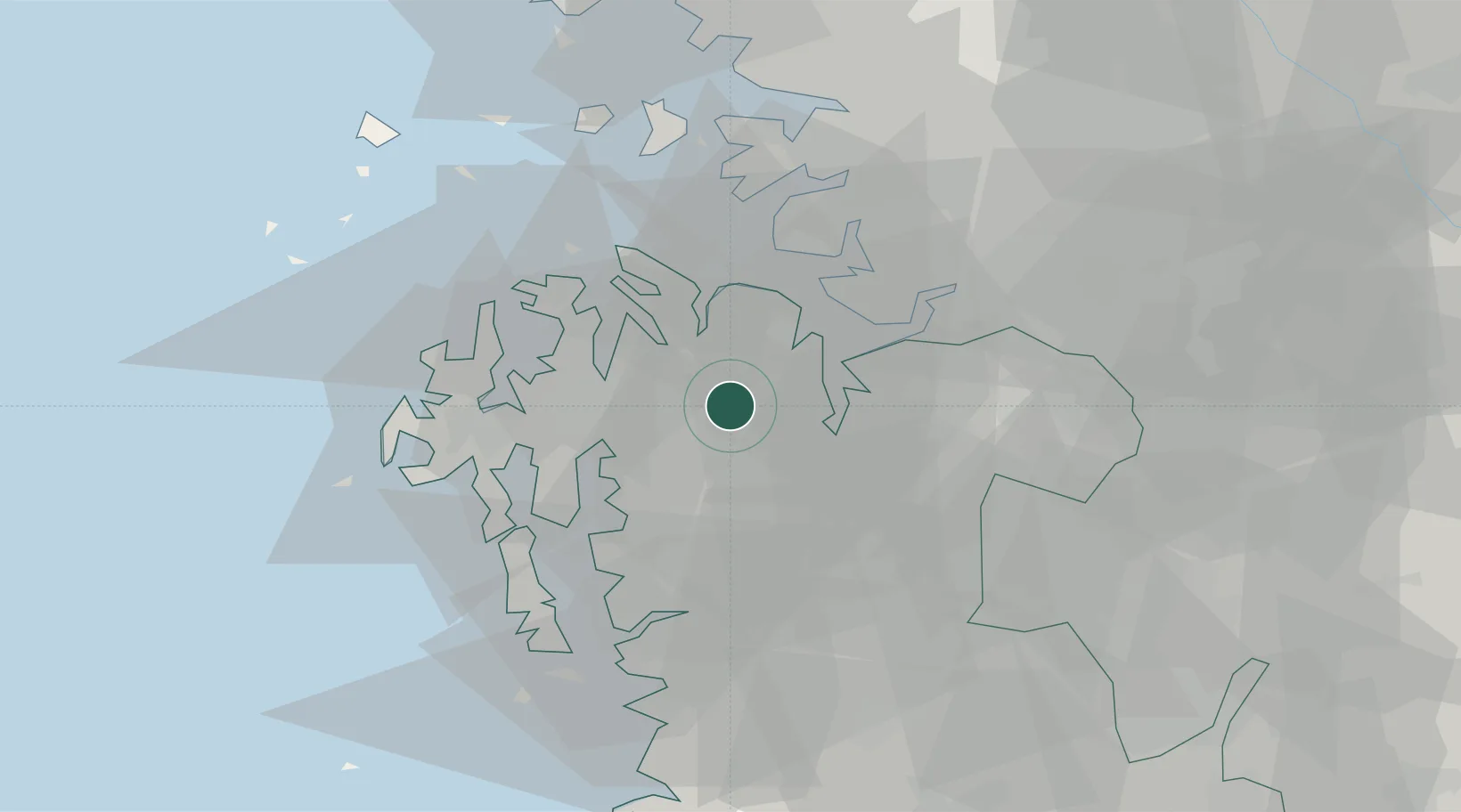
Location
Nearby Logistics Neighbours
Cities
- 1Yesan19 km
- 2Seocheon-gun20 km
- 3Dangjin21 km
- 4Seosan21 km
- 5Hongseong-gun22 km
Ports
- 1Pyeongtaek Hang25 km
- 2Daesan Hang35 km
- 3Inchon74 km
- 4Kunsan91 km
- 5Haeju Hang159 km
Airports
DatabookThe Record of Consolidated Knowledge
South Korea beyond logistics?