Channel & Berth Profile
Pilotage, Tugs & Services
Pilotage compulsoryYES
Pilotage availableYES
Tug assistanceYES
Potable waterYES
Diesel bunkersYES
MedicalYES
Garbage disposalYES
Facilities & Capabilities
Container—
Ro-Ro—
Liquid bulk—
Dry bulk—
Oil terminal—
Break bulk—
Dry dock—
RepairsNO
BunkeringYES
Rail link—
Dangerous cargo—
ISPS security—
Harbour Specifications
Harbour size
Very Small
Harbour type
Open Roadstead
Shelter
Poor
Water body
Mozambique Channel; Indian Ocean
Tidal range
4 m
Pilotage
Yes
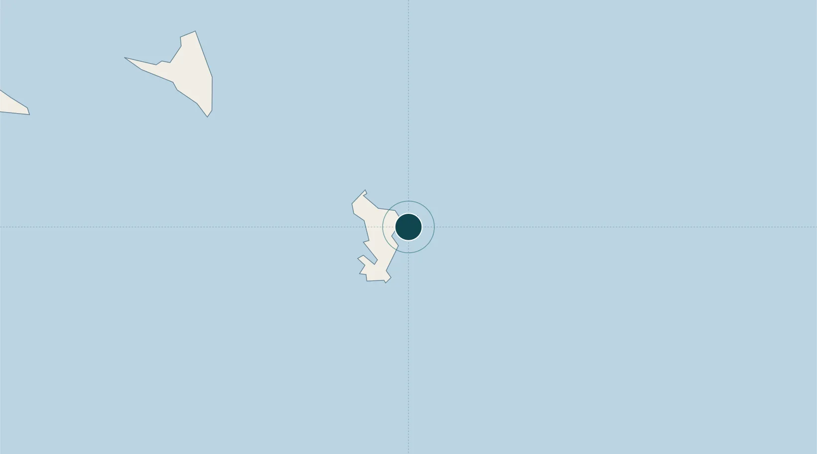
Location
Nearby Logistics Neighbours
Ports
- 1Moutsamoudu116 km
- 2Fomboni173 km
- 3Moroni249 km
- 4Mahajanga345 km
- 5Antsiranana442 km
Cities
- 1Mamoudzou2 km
- 2Dzaoudzi-Pamandzi Apt4 km
- 3Longoni12 km
- 4Bandrele16 km
- 5Chirongui20 km
Airports
Trade Zones
DatabookThe Record of Consolidated Knowledge
Comoros beyond logistics?