Diversified Zone · Madagascar

Diego Suarez Andrakaka Multi-Sectoral Zone Under Development
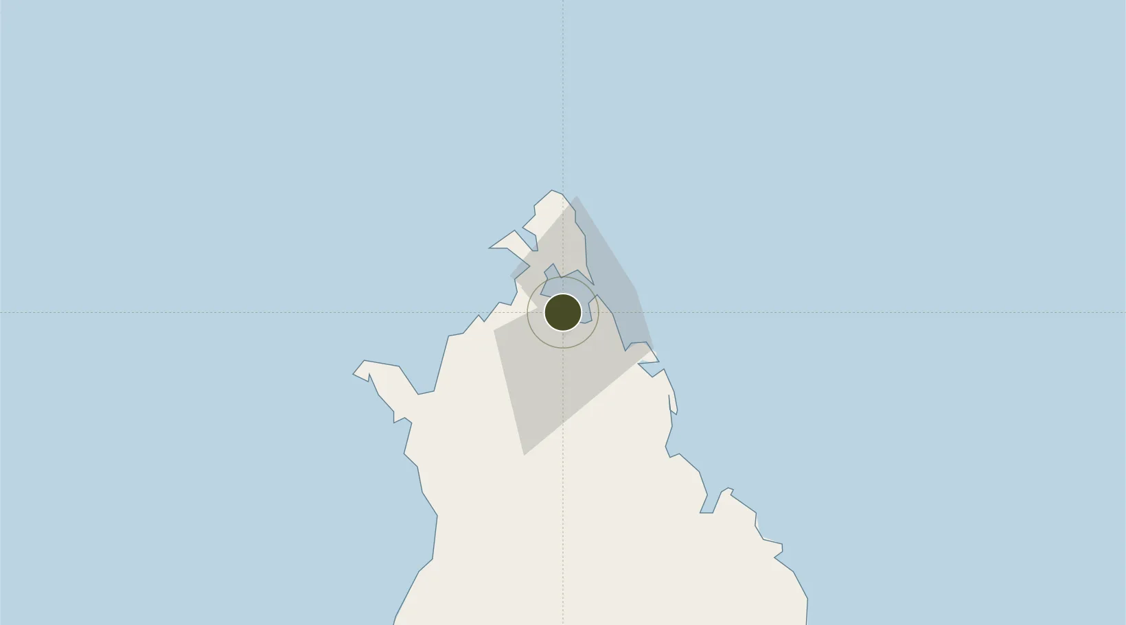
-12.2703°, 49.2900°
101 ha
Zone area
0.8 km
Nearest port
8.8 km
Nearest airport

Gateway access

Nearest neighbours — logibook spatial index (haversine) over the source coordinates

Zone profile

Zone type
Diversified Zone
Open Zone Map
Region
Diana
Open Zone Map
Status
Under Development
Open Zone Map
Management
Public-Private Partnership
Open Zone Map
Operator
Agence Portuaire Maritime et Fluviale
Open Zone Map
Legal framework
Law No. 2017-023
Open Zone Map

Location

Location of ozm-2742
Natural Earth 10m (public domain) · Diana · ozm-2742 · -12.27, 49.29GoogleOSMYandex

Nearby Logistics Neighbours

Ports
  1. 1Antsiranana1 km
  2. 2Maroantsetra358 km
  3. 3Dzaoudzi442 km
  4. 4Mahajanga501 km
  5. 5Moutsamoudu532 km
Nearest neighbours — logibook spatial index (haversine) over the source coordinates
Airports
  1. 1Arrachart Airport9 km
  2. 2Vohemar Airport145 km
  3. 3Nosy Be-Fascene International Airport157 km
  4. 4Sambava Airport243 km
  5. 5Andapa Airport267 km
Nearest neighbours — logibook spatial index (haversine) over the source coordinates
Cities
  1. 1Antsiranana0 km
  2. 2Nosy-Be163 km
  3. 3Dzaoudzi-Pamandzi Apt439 km
  4. 4Mamoudzou444 km
  5. 5Longoni450 km
Nearest neighbours — logibook spatial index (haversine) over the source coordinates
Trade Zones
  1. 1Tsarakofafa Special Economic Zone655 km
  2. 2Toamasina Autonomous Port655 km
  3. 3Moramanga Textile City Zone750 km
  4. 4Crusse & Jamali Special Economic Zone958 km
  5. 5Nacala Special Economic Zone & Airport City961 km
Nearest neighbours — logibook spatial index (haversine) over the source coordinates
DatabookThe Record of Consolidated Knowledge
Madagascar beyond logistics?
Browse databook

All Sources

Trade ZonesOpen Zone Map
CC BY
Portsthe NGA World Port Index
Public domain (US gov)
AirportsOurAirports
Public domain
LocationsUN/LOCODE
UN/LOCODE — free
← Madagascar trade zones