Transport Functions
Multimodal
Hub Profile
Place type
Regional capital
Region
Chirongui
Population
6,173
Time zone
Indian/Mayotte
Elevation
13 m
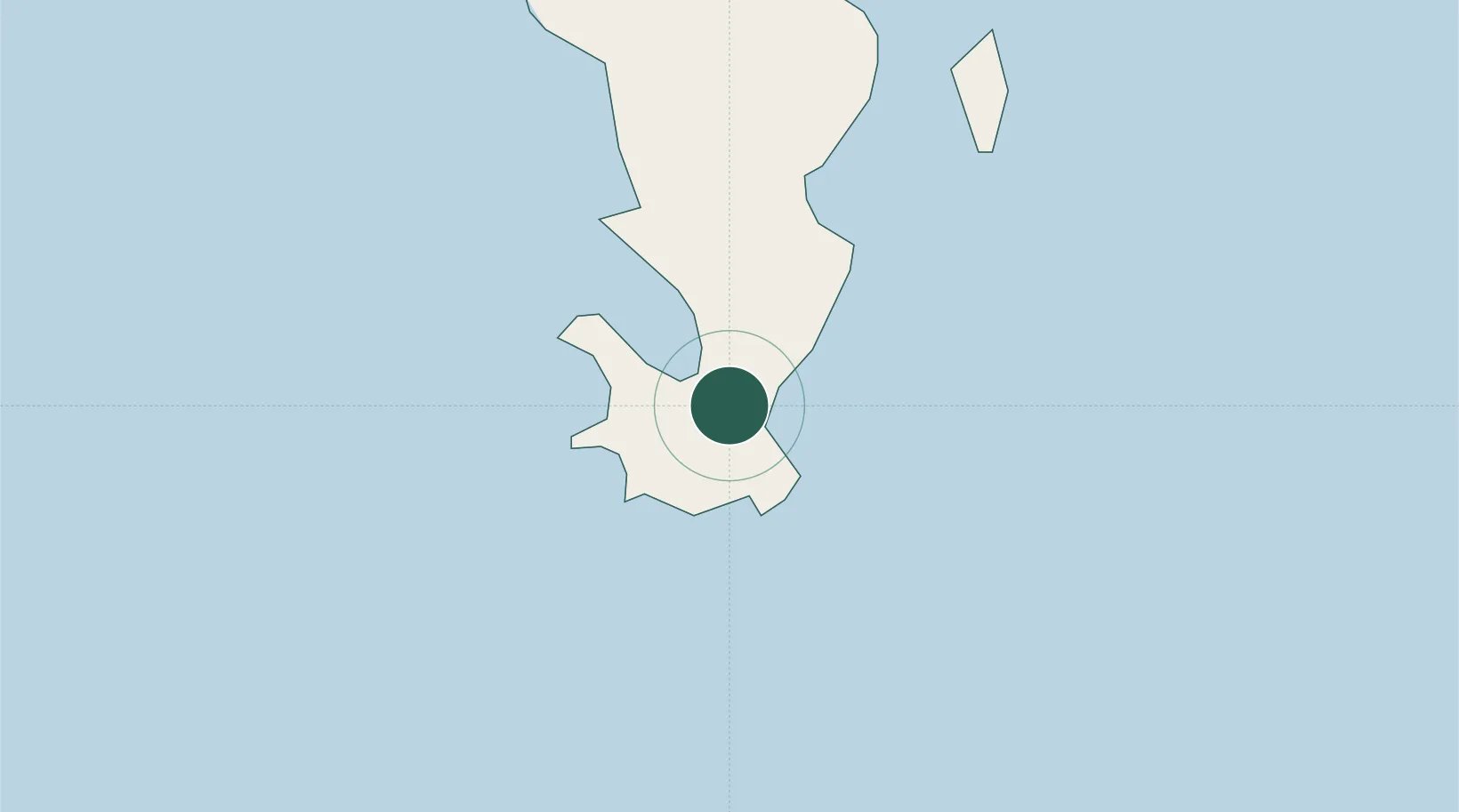
Location
Nearby Logistics Neighbours
Cities
- 1Bandrele4 km
- 2Kani-Kéli6 km
- 3Mamoudzou19 km
- 4Dzaoudzi-Pamandzi Apt21 km
- 5Longoni24 km
Ports
- 1Dzaoudzi20 km
- 2Moutsamoudu119 km
- 3Fomboni169 km
- 4Moroni248 km
- 5Mahajanga333 km
Airports
Trade Zones