Large airport · Mayotte

Dzaoudzi Pamandzi International AirportFMCZ
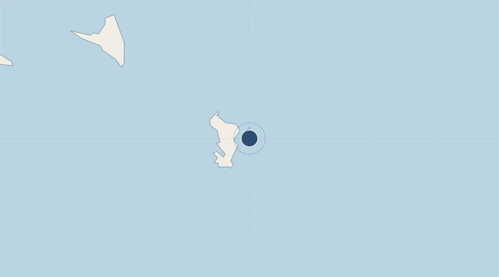
-12.8093°, 45.2818°
6,330 ft
Longest runway
1
Runways
23 ft
Elevation

Runway & Layout

Dzaoudzi Pamandzi International Airport runway & taxiway layout
Runway & taxiway layout — OpenStreetMap (ODbL) / OurAirports

Radio Frequencies

AFIS
119.2 MHz
OurAirports

Navaids

DZP VOR-DME Dzaoudzi Pamandzi 113.50 MHz
FJO NDB Dzaoudzi Pamandzi 341 kHz
OurAirports

Runways · 1

RunwayDimensions SurfaceTrue headingLit
16/34 6,330 × 92ft Asphalt 150°
OurAirports

Airport Specifications

IATA code
DZA
OurAirports
ICAO code
FMCZ
OurAirports
Airport class
Large airport
OurAirports
Scheduled service
Yes
OurAirports
Runway surface
Asphalt
OurAirports
Served city
Dzaoudzi
OurAirports

Location

Location of FMCZ
Natural Earth 10m (public domain) · Mayotte · FMCZ · -12.81, 45.28GoogleOSMYandex

Nearby Logistics Neighbours

Airports
  1. 1Ouani Airport119 km
  2. 2Mohéli Bandar Es Eslam Airport174 km
  3. 3Prince Said Ibrahim International Airport261 km
  4. 4Nosy Be-Fascene International Airport333 km
  5. 5Analalava Airport336 km
Nearest neighbours — logibook spatial index (haversine) over the source coordinates
Cities
  1. 1Dzaoudzi-Pamandzi Apt1 km
  2. 2Mamoudzou6 km
  3. 3Bandrele16 km
  4. 4Longoni16 km
  5. 5Chirongui20 km
Nearest neighbours — logibook spatial index (haversine) over the source coordinates
Ports
  1. 1Dzaoudzi5 km
  2. 2Moutsamoudu121 km
  3. 3Fomboni177 km
  4. 4Moroni253 km
  5. 5Mahajanga341 km
Nearest neighbours — logibook spatial index (haversine) over the source coordinates
Trade Zones
  1. 1Diego Suarez Andrakaka Multi-Sectoral Zone439 km
  2. 2Nacala Special Economic Zone & Airport City529 km
  3. 3Crusse & Jamali Special Economic Zone530 km
  4. 4Minheuene Industrial Free Zone535 km
  5. 5Locone Industrial Free Zone536 km
Nearest neighbours — logibook spatial index (haversine) over the source coordinates

All Sources

AirportsOurAirports
Public domain
Portsthe NGA World Port Index
Public domain (US gov)
LocationsUN/LOCODE
UN/LOCODE — free
Trade Zonesthe World Bank SEZ database
CC BY 4.0
Trade ZonesOpen Zone Map
CC BY
← Mayotte airports