Diversified Zone · Mozambique

Nacala Special Economic Zone & Airport City Under Development
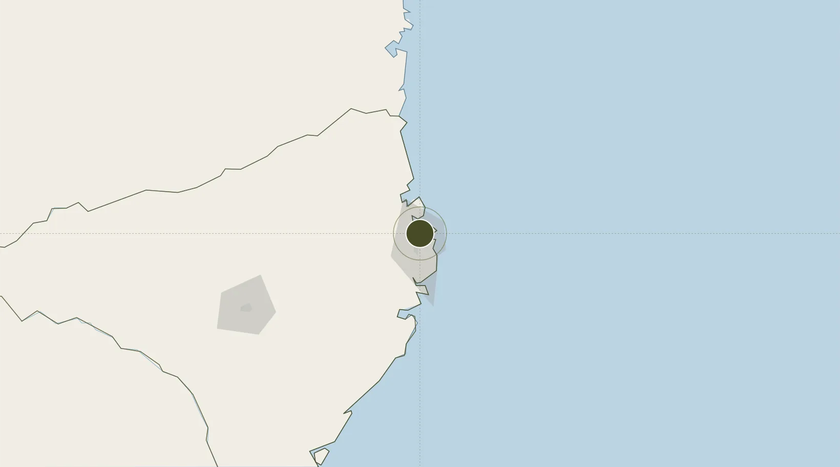
-14.4884°, 40.7026°
300 ha
Zone area
6.3 km
Nearest port
1.0 km
Nearest airport

Gateway access

Nearest neighbours — logibook spatial index (haversine) over the source coordinates

Zone profile

Zone type
Diversified Zone
Open Zone Map
Region
Nampula
Open Zone Map
Status
Under Development
Open Zone Map
Management
Public
Open Zone Map
Operator
APIEX, Aeroportos de Mocambique
Open Zone Map
Legal framework
Decree 76/2007 of 18 December 2007
Open Zone Map

Location

Location of ozm-2883
Natural Earth 10m (public domain) · Nampula · ozm-2883 · -14.49, 40.70GoogleOSMYandex

Nearby Logistics Neighbours

Ports
  1. 1Nacala6 km
  2. 2Mocambique61 km
  3. 3Pemba171 km
  4. 4Ibo240 km
  5. 5Fomboni412 km
Nearest neighbours — logibook spatial index (haversine) over the source coordinates
Airports
  1. 1Nacala International Airport1 km
  2. 2Pemba Airport167 km
  3. 3Nampula Airport168 km
  4. 4Mueda Airport337 km
  5. 5Mocímboa da Praia Airport350 km
Nearest neighbours — logibook spatial index (haversine) over the source coordinates
Cities
  1. 1Nacala10 km
  2. 2Meconta109 km
  3. 3Zambezia207 km
  4. 4Coropoa252 km
  5. 5Mocímboa da Praia353 km
Nearest neighbours — logibook spatial index (haversine) over the source coordinates
Trade Zones
  1. 1Minheuene Industrial Free Zone11 km
  2. 2Locone Industrial Free Zone15 km
  3. 3Crusse & Jamali Special Economic Zone40 km
  4. 4Mocuba Industrial Free Zone472 km
  5. 5Mtwara Special Economic Zone472 km
Nearest neighbours — logibook spatial index (haversine) over the source coordinates
DatabookThe Record of Consolidated Knowledge
Mozambique beyond logistics?
Browse databook

All Sources

Trade ZonesOpen Zone Map
CC BY
Portsthe NGA World Port Index
Public domain (US gov)
AirportsOurAirports
Public domain
LocationsUN/LOCODE
UN/LOCODE — free
← Mozambique trade zones