Transport Functions
Port
Hub Profile
Place type
National capital
Region
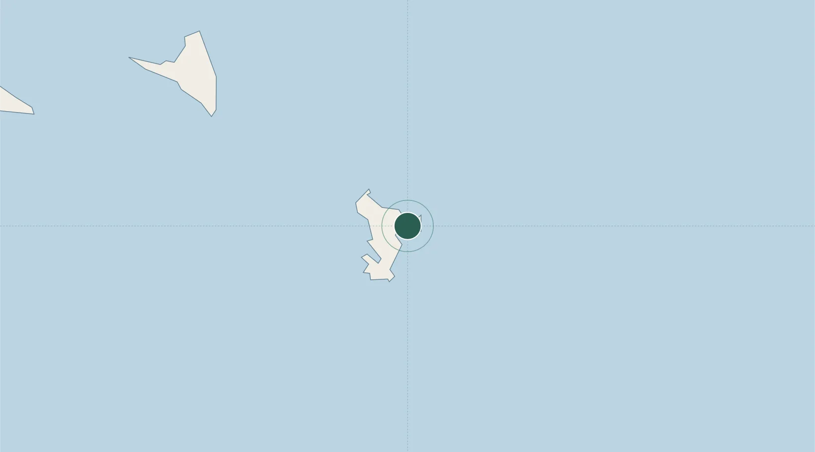
Mamoudzou
Population
54,831
Time zone
Indian/Mayotte
Elevation
23 m
Location
Nearby Logistics Neighbours
Cities
- 1Dzaoudzi-Pamandzi Apt6 km
- 2Longoni10 km
- 3Bandrele15 km
- 4Chirongui19 km
- 5Kani-Kéli24 km
Ports
- 1Dzaoudzi2 km
- 2Moutsamoudu115 km
- 3Fomboni171 km
- 4Moroni247 km
- 5Mahajanga346 km
Airports
Trade Zones