Seaport · Madagascar
AntsirananaMGDIE
-12.2667°, 49.2833°
14.0 m
Channel depth
1
Container terminals
17.7
Port liner connectivity
Channel & Berth Profile
Pilotage, Tugs & Services
Pilotage compulsoryYES
Pilotage availableYES
Pilotage advisableYES
Local assistanceNO
Tug assistanceYES
Shore powerYES
Potable waterYES
Diesel bunkersNO
MedicalYES
Garbage disposalNO
Facilities & Capabilities
Container—
Ro-Ro—
Liquid bulk—
Dry bulk—
Oil terminal—
Break bulk—
Dry dockNO
RepairsNO
BunkeringNO
Rail link—
Dangerous cargo—
ISPS security—
Harbour Specifications
Harbour size
Small
Harbour type
Coastal (Breakwater)
Shelter
Good
Water body
Indian Ocean
Tidal range
2 m
Pilotage
Yes
Liner Connectivity
17.7
PLSCI
Port Liner Shipping Connectivity Index for Antsiranana, as published by UNCTAD for the latest available quarter. Higher values indicate stronger scheduled liner-shipping integration.
Shown relative to the highest per-port PLSCI in the dataset (1,657.9).
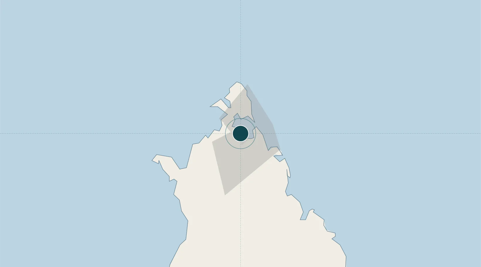
Location
Container Terminals · 1
DIEGO-SUAREZ TERMINAL
DST AGENCE PORTUAIRE, MARITIME ET FLUVIALE (APMF)
Nearby Logistics Neighbours
Ports
- 1Maroantsetra359 km
- 2Dzaoudzi442 km
- 3Mahajanga501 km
- 4Moutsamoudu531 km
- 5Fomboni601 km
Cities
- 1Nosy-Be163 km
- 2Dzaoudzi-Pamandzi Apt438 km
- 3Mamoudzou443 km
- 4Longoni450 km
- 5Bandrele452 km
Airports
- 1Arrachart Airport9 km
- 2Vohemar Airport146 km
- 3Nosy Be-Fascene International Airport157 km
- 4Sambava Airport244 km
- 5Andapa Airport268 km
Trade Zones
DatabookThe Record of Consolidated Knowledge
Madagascar beyond logistics?