Seaport · Madagascar
MahajangaMGMJN
-15.7167°, 46.3000°
9.4 m
Channel depth
24.6
Port liner connectivity
Channel & Berth Profile
Pilotage, Tugs & Services
Pilotage availableYES
Pilotage advisableYES
Tug assistanceYES
Shore powerYES
Potable waterYES
Diesel bunkersYES
MedicalYES
Facilities & Capabilities
Container—
Ro-Ro—
Liquid bulk—
Dry bulk—
Oil terminal—
Break bulk—
Dry dock—
RepairsNO
BunkeringNO
Rail link—
Dangerous cargo—
ISPS security—
Harbour Specifications
Harbour size
Very Small
Harbour type
Coastal (Natural)
Shelter
Fair
Water body
Mozambique Channel; Indian Ocean
Tidal range
4 m
Liner Connectivity
24.6
PLSCI
Port Liner Shipping Connectivity Index for Mahajanga, as published by UNCTAD for the latest available quarter. Higher values indicate stronger scheduled liner-shipping integration.
Shown relative to the highest per-port PLSCI in the dataset (1,657.9).
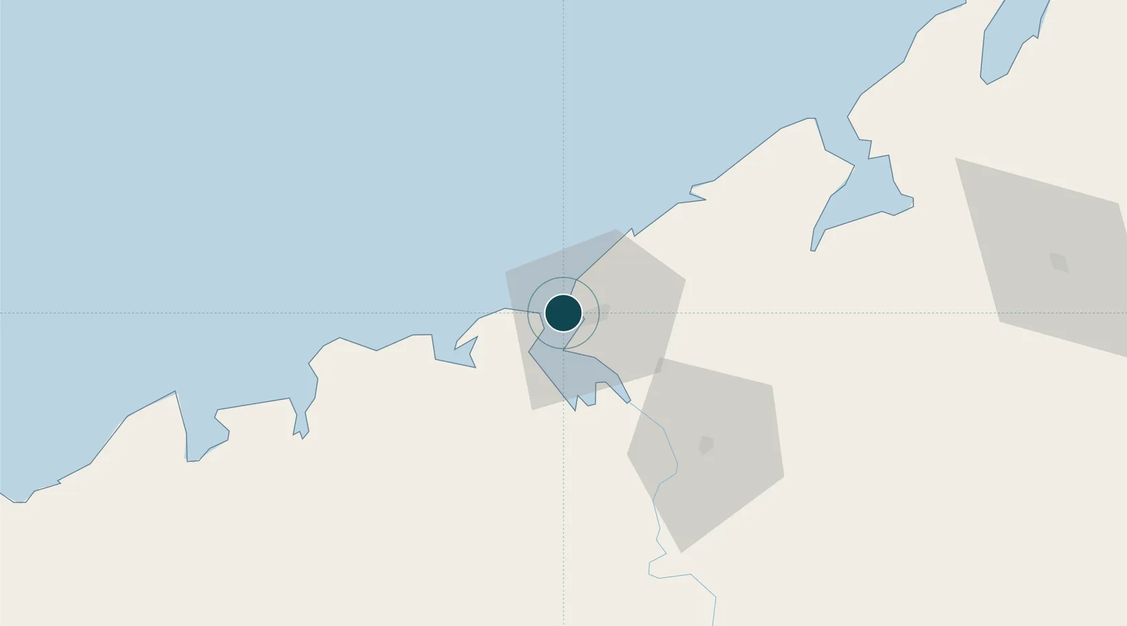
Location
Nearby Logistics Neighbours
Ports
- 1Dzaoudzi345 km
- 2Maintirano357 km
- 3Maroantsetra378 km
- 4Toamasina429 km
- 5Moutsamoudu447 km
Cities
- 1Chirongui333 km
- 2Kani-Kéli334 km
- 3Bandrele336 km
- 4Nosy-Be338 km
- 5Dzaoudzi-Pamandzi Apt342 km
Airports
- 1Amborovy Airport8 km
- 2Soalala Airport109 km
- 3Tsaratanana Airport182 km
- 4Analalava Airport198 km
- 5Ambalabe Airport203 km
Trade Zones
DatabookThe Record of Consolidated Knowledge
Madagascar beyond logistics?