Medium airport · Madagascar

Nosy Be-Fascene International AirportFMNN
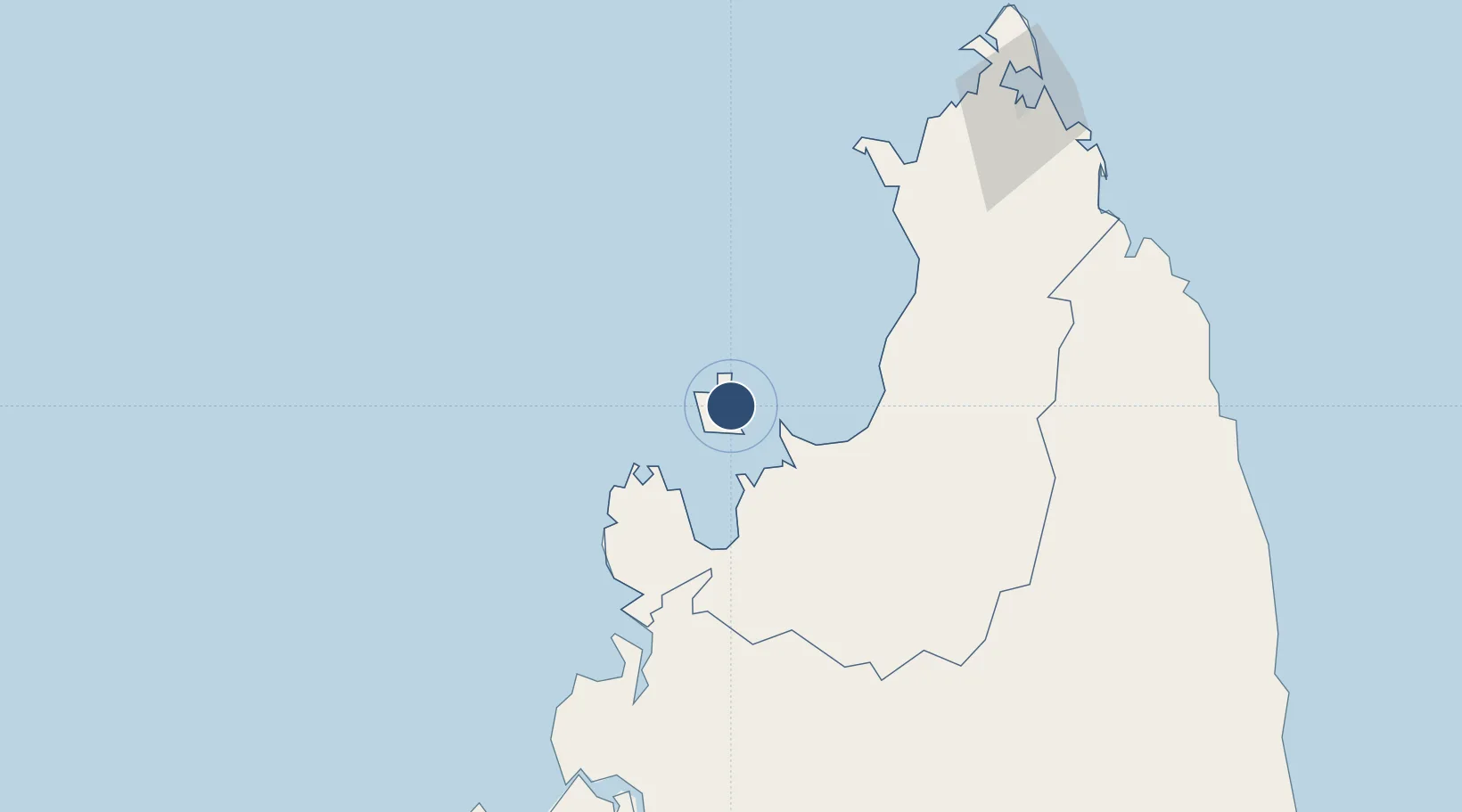
-13.3121°, 48.3148°
7,185 ft
Longest runway
1
Runways
36 ft
Elevation

Runway & Layout

Nosy Be-Fascene International Airport runway & taxiway layout
Runway & taxiway layout — OpenStreetMap (ODbL) / OurAirports

Radio Frequencies

TWR
118.7 MHz
A/G
548.4 MHz
A/G VOICE RDO
OurAirports

Navaids

NSB VOR-DME Fascene 117.50 MHz
VSN NDB Fascene 381 kHz
OurAirports

Runways · 1

RunwayDimensions SurfaceTrue headingLit
05/23 7,185 × 148ft Asphalt 043°
OurAirports

Airport Specifications

IATA code
NOS
OurAirports
ICAO code
FMNN
OurAirports
Airport class
Medium airport
OurAirports
Scheduled service
Yes
OurAirports
Runway surface
Asphalt
OurAirports
Served city
Nosy Be
OurAirports

Location

Location of FMNN
Natural Earth 10m (public domain) · Diana · FMNN · -13.31, 48.31GoogleOSMYandex

Nearby Logistics Neighbours

Airports
  1. 1Arrachart Airport151 km
  2. 2Analalava Airport158 km
  3. 3Ambalabe Airport180 km
  4. 4Vohemar Airport183 km
  5. 5Andapa Airport205 km
Nearest neighbours — logibook spatial index (haversine) over the source coordinates
Cities
  1. 1Nosy-Be7 km
  2. 2Antsiranana157 km
  3. 3Dzaoudzi-Pamandzi Apt333 km
  4. 4Mamoudzou339 km
  5. 5Bandrele344 km
Nearest neighbours — logibook spatial index (haversine) over the source coordinates
Ports
  1. 1Antsiranana157 km
  2. 2Maroantsetra288 km
  3. 3Dzaoudzi337 km
  4. 4Mahajanga344 km
  5. 5Moutsamoudu444 km
Nearest neighbours — logibook spatial index (haversine) over the source coordinates
Trade Zones
  1. 1Diego Suarez Andrakaka Multi-Sectoral Zone157 km
  2. 2Tsarakofafa Special Economic Zone551 km
  3. 3Toamasina Autonomous Port552 km
  4. 4Moramanga Textile City Zone625 km
  5. 5Crusse & Jamali Special Economic Zone825 km
Nearest neighbours — logibook spatial index (haversine) over the source coordinates
DatabookThe Record of Consolidated Knowledge
Madagascar beyond logistics?
Browse databook

All Sources

AirportsOurAirports
Public domain
Portsthe NGA World Port Index
Public domain (US gov)
LocationsUN/LOCODE
UN/LOCODE — free
Trade Zonesthe World Bank SEZ database
CC BY 4.0
Trade ZonesOpen Zone Map
CC BY
InfrastructureOpenStreetMap
ODbL 1.0
← Madagascar airports