About
Methodology
Sources
Licensing
English
EN
English
TR
Türkçe
DE
Deutsch
FR
Français
ES
Español
IT
Italiano
PT
Português
NL
Nederlands
PL
Polski
RU
Русский
UK
Українська
CS
Čeština
RO
Română
EL
Ελληνικά
BG
Български
AR
العربية
FA
فارسی
UR
اردو
HI
हिन्दी
BN
বাংলা
ID
Bahasa Indonesia
VI
Tiếng Việt
ZH
中文
JA
日本語
KO
한국어
logibook
/
Countries
/
Mayotte
/
Locations
/
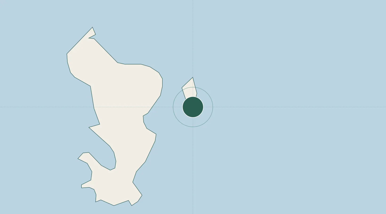
Dzaoudzi-Pamandzi Apt
UN/LOCODE hub ·
Mayotte
YT
DZA
Dzaoudzi-Pamandzi Apt
-12.8000°, 45.2833°
2
Transport functions
Transport Functions
Port
Airport
UN/LOCODE
Location
Natural Earth 10m (public domain) · Mayotte · YTDZA · -12.80, 45.28
Google ↗
OSM ↗
Yandex ↗
Nearby Logistics Neighbours
Cities
1
Mamoudzou
6 km
2
Longoni
16 km
3
Bandrele
17 km
4
Chirongui
21 km
5
Kani-Kéli
26 km
Nearest neighbours — logibook spatial index (haversine) over the source coordinates
Ports
1
Dzaoudzi
4 km
2
Moutsamoudu
120 km
3
Fomboni
177 km
4
Moroni
253 km
5
Mahajanga
342 km
Nearest neighbours — logibook spatial index (haversine) over the source coordinates
Airports
1
Dzaoudzi Pamandzi International Airport
1 km
2
Ouani Airport
119 km
3
Mohéli Bandar Es Eslam Airport
174 km
4
Prince Said Ibrahim International Airport
260 km
5
Nosy Be-Fascene International Airport
333 km
Nearest neighbours — logibook spatial index (haversine) over the source coordinates
Trade Zones
1
Diego Suarez Andrakaka Multi-Sectoral Zone
439 km
2
Nacala Special Economic Zone & Airport City
529 km
3
Crusse & Jamali Special Economic Zone
531 km
4
Minheuene Industrial Free Zone
535 km
5
Locone Industrial Free Zone
536 km
Nearest neighbours — logibook spatial index (haversine) over the source coordinates
All Sources
Locations
UN/LOCODE
UN/LOCODE — free
↗
Ports
the NGA World Port Index
Public domain (US gov)
↗
Airports
OurAirports
Public domain
↗
Trade Zones
the World Bank SEZ database
CC BY 4.0
↗
Trade Zones
Open Zone Map
CC BY
↗
← Mayotte locations