Seaport · Comoros

MoroniKMYVA

-11.7000°, 43.2500°
23.2 m
Channel depth
16.7
Port liner connectivity

Channel & Berth Profile

SEA LEVEL (CD)CHANNEL BEDCargo pier · 3.4 mOil terminal · 3.4 mAnchorage · 21.6 mChannel · 23.2 m
NGA World Port Index

Pilotage, Tugs & Services

Pilotage availableNO
Potable waterNO
MedicalYES
Garbage disposalYES
NGA World Port Index

Facilities & Capabilities

Container
Ro-Ro
Liquid bulk
Dry bulk
Oil terminal
Break bulk
Dry dock
Repairs
Bunkering
Rail link
Dangerous cargo
ISPS security
NGA World Port Index

Harbour Specifications

Harbour size
Very Small
NGA World Port Index
Harbour type
Open Roadstead
NGA World Port Index
Shelter
Poor
NGA World Port Index
Water body
Mozambique Channel; Indian Ocean
NGA World Port Index
Tidal range
3 m
NGA World Port Index

Liner Connectivity

16.7
PLSCI

Port Liner Shipping Connectivity Index for Moroni, as published by UNCTAD for the latest available quarter. Higher values indicate stronger scheduled liner-shipping integration.

Shown relative to the highest per-port PLSCI in the dataset (1,657.9).
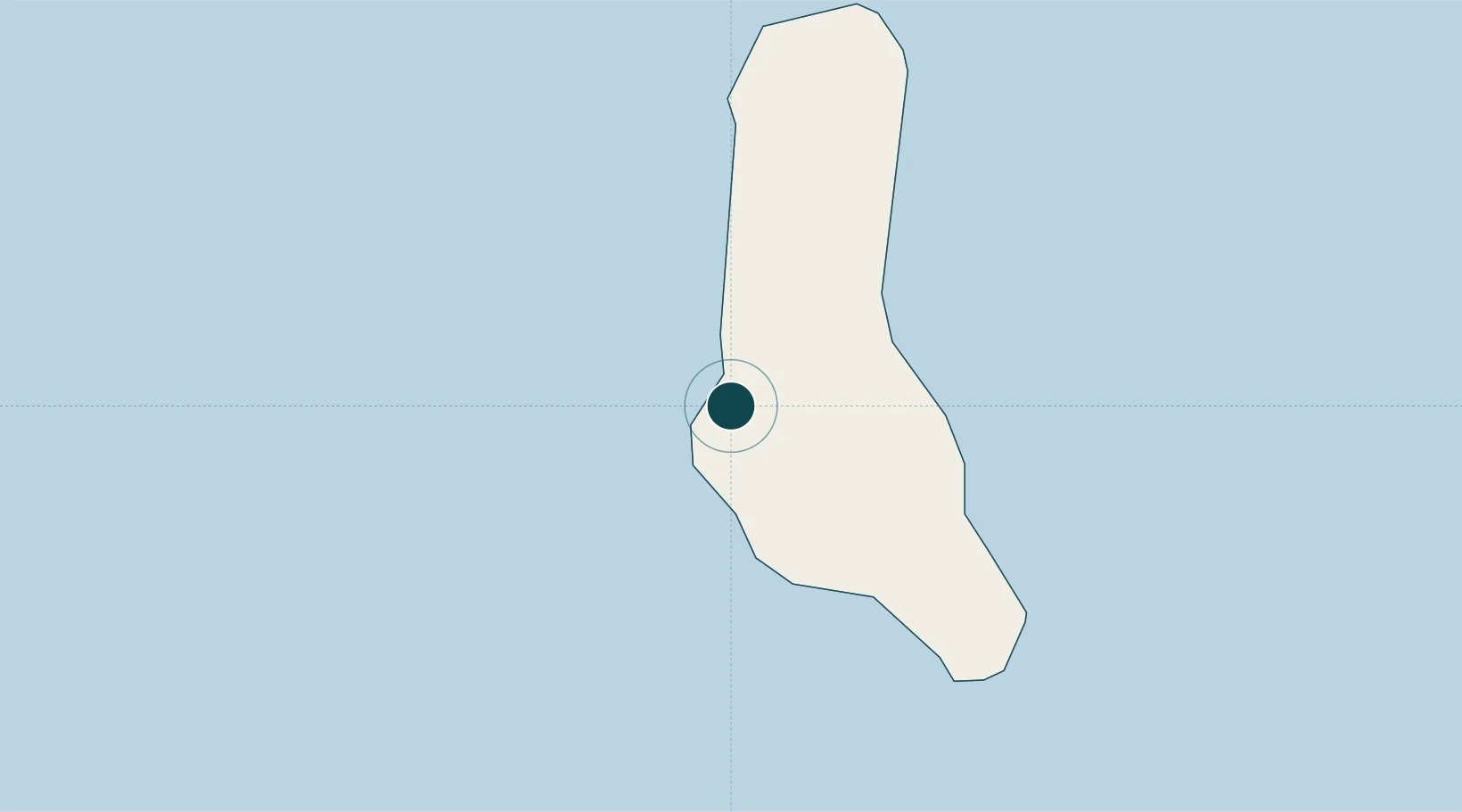
UNCTAD · Port Liner Shipping Connectivity Index

Location

Location of KMYVA
Natural Earth 10m (public domain) · Andjazîdja · KMYVA · -11.70, 43.25GoogleOSMYandex

Nearby Logistics Neighbours

Ports
  1. 1Fomboni83 km
  2. 2Moutsamoudu135 km
  3. 3Dzaoudzi249 km
  4. 4Ibo295 km
  5. 5Pemba330 km
Nearest neighbours — logibook spatial index (haversine) over the source coordinates
Cities
  1. 1Mutsamudu, Anjouan133 km
  2. 2Anjouan Apt141 km
  3. 3Longoni237 km
  4. 4Kani-Kéli244 km
  5. 5Mamoudzou247 km
Nearest neighbours — logibook spatial index (haversine) over the source coordinates
Airports
  1. 1Prince Said Ibrahim International Airport19 km
  2. 2Mohéli Bandar Es Eslam Airport87 km
  3. 3Ouani Airport137 km
  4. 4Dzaoudzi Pamandzi International Airport253 km
  5. 5Mocímboa da Praia Airport318 km
Nearest neighbours — logibook spatial index (haversine) over the source coordinates
Trade Zones
  1. 1Mtwara Special Economic Zone369 km
  2. 2Nacala Special Economic Zone & Airport City415 km
  3. 3Minheuene Industrial Free Zone425 km
  4. 4Locone Industrial Free Zone427 km
  5. 5Crusse & Jamali Special Economic Zone435 km
Nearest neighbours — logibook spatial index (haversine) over the source coordinates
DatabookThe Record of Consolidated Knowledge
Comoros beyond logistics?
Browse databook

All Sources

Portsthe NGA World Port Index
Public domain (US gov)
Logistics performanceUNCTAD
CC BY 3.0 IGO
AirportsOurAirports
Public domain
LocationsUN/LOCODE
UN/LOCODE — free
Trade Zonesthe World Bank SEZ database
CC BY 4.0
Trade ZonesOpen Zone Map
CC BY
← Comoros ports