Transport Functions
Port
Road
Hub Profile
Place type
Populated place
Region
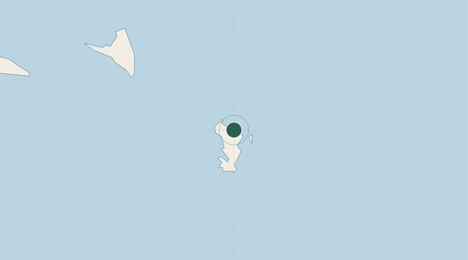
Koungou
Population
3,983
Time zone
Indian/Mayotte
Elevation
25 m
Location
Nearby Logistics Neighbours
Cities
- 1Mamoudzou10 km
- 2Dzaoudzi-Pamandzi Apt16 km
- 3Bandrele20 km
- 4Chirongui24 km
- 5Kani-Kéli27 km
Ports
- 1Dzaoudzi12 km
- 2Moutsamoudu104 km
- 3Fomboni162 km
- 4Moroni237 km
- 5Mahajanga355 km
Airports
Trade Zones