Seaport · Comoros
MoutsamouduKMMUT
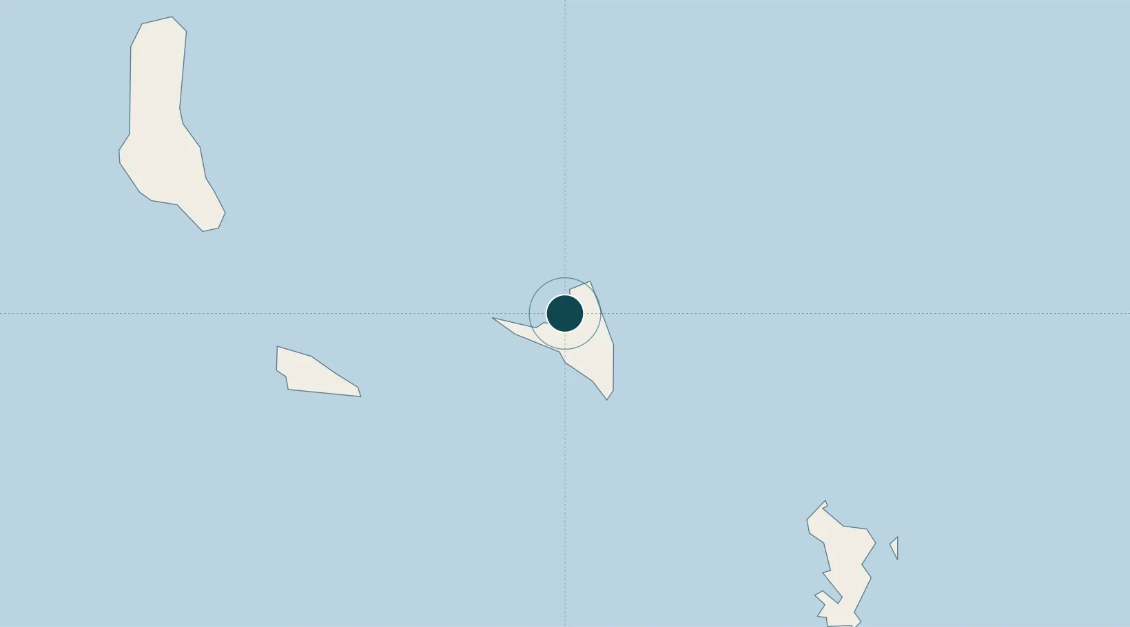
-12.1500°, 44.4000°
9.4 m
Channel depth
25.7
Port liner connectivity
Channel & Berth Profile
Pilotage, Tugs & Services
Pilotage compulsoryYES
Tug assistanceYES
Potable waterYES
Diesel bunkersNO
MedicalYES
Garbage disposalYES
Facilities & Capabilities
Container—
Ro-Ro—
Liquid bulk—
Dry bulk—
Oil terminal—
Break bulk—
Dry dock—
Repairs—
BunkeringNO
Rail link—
Dangerous cargo—
ISPS security—
Harbour Specifications
Harbour size
Very Small
Harbour type
Open Roadstead
Shelter
Fair
Water body
Indian Ocean
Tidal range
2 m
Pilotage
Yes
Liner Connectivity
25.7
PLSCI
Port Liner Shipping Connectivity Index for Moutsamoudu, as published by UNCTAD for the latest available quarter. Higher values indicate stronger scheduled liner-shipping integration.
Shown relative to the highest per-port PLSCI in the dataset (1,657.9).
Location
Nearby Logistics Neighbours
Cities
- 1Anjouan Apt11 km
- 2Longoni104 km
- 3Mamoudzou115 km
- 4Kani-Kéli117 km
- 5Bandrele118 km
Airports
Trade Zones
DatabookThe Record of Consolidated Knowledge
Comoros beyond logistics?