Medium airport · Comoros
Ouani AirportFMCV
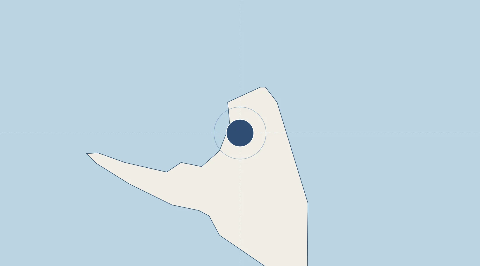
-12.1310°, 44.4300°
4,429 ft
Longest runway
1
Runways
62 ft
Elevation
Runway & Layout

Radio Frequencies
TWR
119.7 MHz
A/G
548.4 MHz
A/G VOICE RDO
Navaids
AJ NDB Ouani 369 kHz
Runways · 1
| Runway | Dimensions | Surface | True heading | Lit |
|---|---|---|---|---|
| 10/28 | 4,429 × 92ft | Asphalt | 095° | — |
Airport Specifications
IATA code
AJN
ICAO code
FMCV
Airport class
Medium airport
Scheduled service
Yes
Runway surface
Asphalt
Served city
Ouani
Location
Nearby Logistics Neighbours
Airports
Cities
- 1Mutsamudu, Anjouan6 km
- 2Anjouan Apt13 km
- 3Longoni103 km
- 4Mamoudzou113 km
- 5Kani-Kéli117 km
Ports
- 1Moutsamoudu4 km
- 2Fomboni75 km
- 3Dzaoudzi115 km
- 4Moroni137 km
- 5Ibo415 km
Trade Zones
DatabookThe Record of Consolidated Knowledge
Comoros beyond logistics?